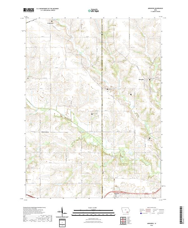
2022 Map of Abingdon
USGS Topo · Published 2022About this map
Abingdon and Competine anchor this section of Southeast Iowa, where the border of Wapello and Jefferson Counties meets the southern edge of Keokuk County. The landscape is defined by the winding paths of Cedar Creek and Competine Creek, which carve through the rural countryside. For genealogists, the map is a dense record of burial sites, including the Abingdon, Walnut Hill, and Schrom cemeteries, many associated with the area's earliest pioneer families. The layout of the land follows the traditional Public Land Survey System, with a grid of gravel roads like Ash Avenue and County Road V43 connecting small farmsteads. The southern edge reaches the community of Batavia, showing the modern alignment of Old US Highway 34 alongside the established creek drainage of Honey Creek.
Find a feature on this map
67 named features on this map. Tap any name to fly to it.
Don’t see what you’re looking for? This feature index may not catch every label — zoom into the map to look around manually.
Map Details
Editions of this 2022 Abingdon Map
This is the sole edition of this map. No revisions or reprints were ever made.
Other maps of this area

1954 · Centerville
USGS Topo · 1:250,000

1954 · Des Moines
USGS Topo · 1:250,000

1956 · Des Moines
USGS Topo · 1:250,000

1956 · Farson
USGS Topo · 1:24,000

1956 · Agency
USGS Topo · 1:24,000

1956 · Ottumwa North
USGS Topo · 1:62,500

1956 · Ottumwa South
USGS Topo · 1:62,500

1957 · Des Moines
USGS Topo · 1:250,000

1957 · Centerville
USGS Topo · 1:250,000

1958 · Centerville
USGS Topo · 1:250,000