
1893 Map of Abington
USGS Topo · Published 1893About this map
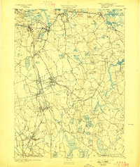
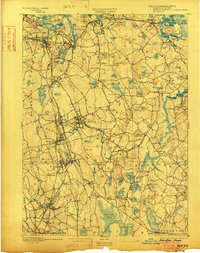
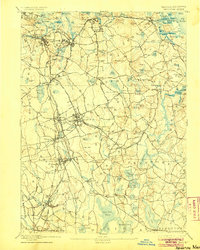
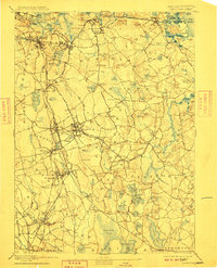
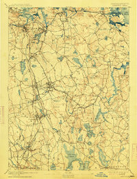
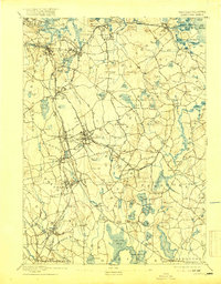
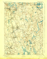
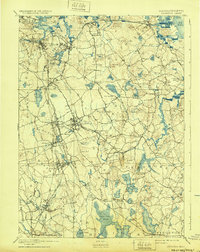
The Old Colony Railroad and its South Shore Branch dictate the movement of goods and people across this late-19th-century coastal landscape, connecting established hubs like Weymouth and Hingham to the industrial nodes of Rockland and Abington. While the northern shore is marked by the maritime activity of Weymouth Harbor and Hingham Harbor, the interior reveals a transition from coastal marsh to high points like Prospect Hill and Scituate Hill.
Find a feature on this map
189 named features on this map. Tap any name to fly to it.
Don’t see what you’re looking for? This feature index may not catch every label — zoom into the map to look around manually.
Map Details
Editions of this 1893 Abington Map
9 editions found
Other maps of this area

1885 · Abington
USGS Topo · 1:62,500

1885 · Duxbury
USGS Topo · 1:62,500

1885 · Middleboro
USGS Topo · 1:62,500

1885 · Taunton
USGS Topo · 1:62,500

1886 · Plymouth
USGS Topo · 1:62,500

1886 · Dedham
USGS Topo · 1:62,500

1888 · Duxbury
USGS Topo · 1:62,500

1888 · Taunton
USGS Topo · 1:62,500

1888 · Middleboro
USGS Topo · 1:62,500

1888 · Abington
USGS Topo · 1:62,500