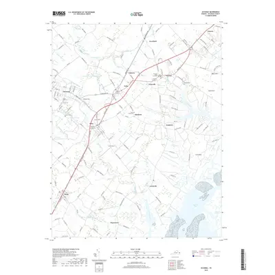
2019 Map of Accomac
USGS Topo · Published 2019About this map
The Accomack County Courthouse stands at the center of this Eastern Shore landscape, surrounded by the historic towns and navigable waterways of Virginia's Atlantic side. Modern infrastructure like the Onley Airport and highway corridors connect established settlements including Accomac, Onley, and Melfa. The geography is defined by its relation to the water, with Little Annemessex River and Chesconessex Cr cutting inland, while tidal features like Burtons Bay and Custis Neck mark the transition toward the barrier islands.
Find a feature on this map
154 named features on this map. Tap any name to fly to it.
Don’t see what you’re looking for? This feature index may not catch every label — zoom into the map to look around manually.
Map Details
Editions of this 2019 Accomac Map
This is the sole edition of this map. No revisions or reprints were ever made.
Other maps of this area

1903 · Crisfield
USGS Topo · 1:62,500

1920 · Crisfield
USGS Topo · 1:62,500

1931 · Accomac
USGS Topo · 1:48,000

1935 · Accomac
USGS Topo · 1:62,500

1942 · Chesconessex
USGS Topo · 1:31,680

1942 · Mappsville
USGS Topo · 1:24,000

1942 · Parksley
USGS Topo · 1:24,000

1943 · Pungoteague
USGS Topo · 1:31,680

1943 · Parksley
USGS Topo · 1:31,680

1943 · Mappsville
USGS Topo · 1:31,680