2022 Map of Accomac
USGS Topo · Published 2022About this map
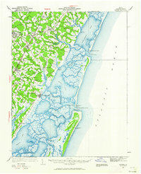
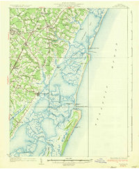
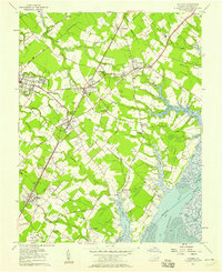
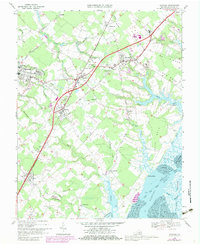
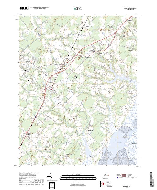
Accomack County Courthouse serves as the focal point for the county seat of Accomac, an area where the inland coastal plain begins its transition toward the salt marshes of the Eastern Shore. The landscape is defined by a dense network of creek branches, such as Chesconessex Cr and N Br Onancock Cr, which drain into the Chesapeake, while the eastern edge of the quadrangle opens into the tidal environment of Burtons Bay and the barrier system at Cedar Island. Small settlements like Ticktown, Tasley, and Graysville are interconnected by a series of regional roads and the primary north-south corridor through Onley and Melfa. Genealogists will find a significant concentration of burial sites, ranging from the Drummondtown Baptist Church Cem to private family plots like the Allen Family Cem, documenting the long-standing land-use patterns of this Virginia peninsula.
Find a feature on this map
146 named features on this map. Tap any name to fly to it.
Don’t see what you’re looking for? This feature index may not catch every label — zoom into the map to look around manually.
Map Details
Editions of this 2022 Accomac Map
This is the sole edition of this map. No revisions or reprints were ever made.
Historical Maps of Jordan Through Time
6 maps found