
1970 Map of Ackerly
USGS Topo · Published 1973About this map
The town of Ackerly sits at a geographic crossroads on the High Plains, where the borders of Dawson, Martin, Borden, and Howard counties meet. This 1970s record illustrates a landscape defined by its primary industries: agriculture and petroleum. Extensive Oil Field operations dominate the northeastern portion of the quadrangle, with numerous wells and pipelines interspersed among the ephemeral drainages of Wolf Mill Creek and Rattlesnake Creek. Local life centers around the town site, which features the Sands Sch, a Substa, and several Water Tanks. Genealogists will find the Fairhaven Cem south of town and an additional Cem to the north, providing key markers of the community's history. The outlying settlement of Davenport further illustrates the dispersed nature of habitation across these expansive West Texas plains.
Find a feature on this map
24 named features on this map. Tap any name to fly to it.
Don’t see what you’re looking for? This feature index may not catch every label — zoom into the map to look around manually.
Map Details
Editions of this 1970 Ackerly Map
This is the sole edition of this map. No revisions or reprints were ever made.
Other maps of this area

1954 · Big Spring
USGS Topo · 1:250,000

1958 · Big Spring
USGS Topo · 1:250,000

1966 · Knott
USGS Topo · 1:24,000

1966 · Merrick
USGS Topo · 1:24,000

1966 · Knott NE
USGS Topo · 1:24,000

1970 · Vealmoor
USGS Topo · 1:24,000

1970 · Key
USGS Topo · 1:24,000

1970 · Sand Creek
USGS Topo · 1:24,000
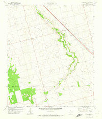
1970 · Sparenberg
USGS Topo · 1:24,000
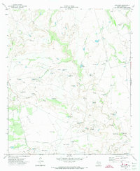
1970 · Long Draw
USGS Topo · 1:24,000