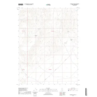
2018 Map of Ackerman Canyon
USGS Topo · Published 2018About this map
The Simpson Park Mountains dominate this high-altitude landscape in central Nevada, defined by a complex network of seasonal drainages and named canyons. This 2018 survey illustrates the varied topography of the range, where the steep terrain gives way to the prominent Ackerman Canyon in the east and the branching system of Water Canyon. The presence of Dickenson Spring in the northeast corner and the course of Water Canyon Cr highlight the scarce but vital water sources in this arid environment. Transportation through the area is limited to rugged paths like Dry Creek Rd, which skirts the southern foothills near Dry Cr. The map provides a precise view of the Public Land Survey System boundaries, including t20n r47e, as they intersect these natural features.
Find a feature on this map
13 named features on this map. Tap any name to fly to it.
Don’t see what you’re looking for? This feature index may not catch every label — zoom into the map to look around manually.
Map Details
Editions of this 2018 Ackerman Canyon Map
This is the sole edition of this map. No revisions or reprints were ever made.
Other maps of this area

1926 · Roberts Mountains
USGS Topo · 1:250,000

1929 · Roberts Mountains
USGS Topo · 1:250,000

1955 · Millett
USGS Topo · 1:250,000

1956 · Mount Callaghan
USGS Topo · 1:62,500

1956 · Ackerman Canyon
USGS Topo · 1:62,500

1959 · Millett
USGS Topo · 1:250,000

1960 · Hickison Summit
USGS Topo · 1:62,500

1960 · Spencer Hot Springs
USGS Topo · 1:62,500

1978 · Summit Mountain
USGS Topo · 1:100,000

1979 · Simpson Park Mtns
USGS Topo · 1:100,000