
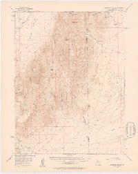
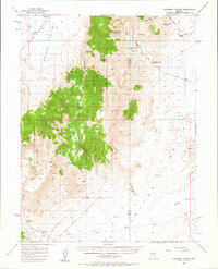
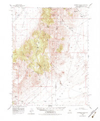
1956 Map of Ackerman Canyon
USGS Topo · Published 1957About this map
Santa Fe Ranch and Ferguson Ranch anchor the high desert landscape of central Nevada during the mid-1950s. This survey of the Ackerman Canyon quadrangle captures a remote ranching economy defined by isolated homesteads and essential water sources such as Potato Canyon Spring and Cottonwood Spring. The terrain transitions from the wide expanses of Grass Valley and Bean Flat into the steep ridges of the Simpson Park Mountains, where several peaks and benchmarks like VABM 8692 Park and Vabm 6416 are recorded.
Find a feature on this map
31 named features on this map. Tap any name to fly to it.
Don’t see what you’re looking for? This feature index may not catch every label — zoom into the map to look around manually.
Map Details
Editions of this 1956 Ackerman Canyon Map
4 editions found
Other maps of this area

1926 · Roberts Mountains
USGS Topo · 1:250,000

1929 · Roberts Mountains
USGS Topo · 1:250,000

1949 · Roberts Creek Mtn
USGS Topo · 1:62,500

1951 · Roberts Creek Mtn
USGS Topo · 1:62,500

1955 · Millett
USGS Topo · 1:250,000

1956 · Bartine Ranch
USGS Topo · 1:62,500

1956 · Mount Callaghan
USGS Topo · 1:62,500

1956 · Walti Hot Springs
USGS Topo · 1:62,500

1956 · Antelope Peak
USGS Topo · 1:62,500

1956 · Hall Creek
USGS Topo · 1:62,500