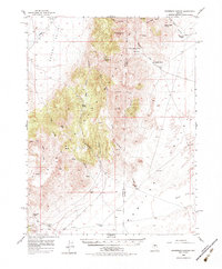
1956 Map of Ackerman Canyon
USGS Topo · Published 1983About this map
The borderlands between Eureka and Lander County are defined here by the high desert divide separating Grass Valley and Monitor Valley. Mapping conducted in the mid-1950s captures a landscape of isolated ranching outposts and mineral exploration, where water sources like Cottonwood Spring and Potato Canyon Spring dictated the placement of settlements. The presence of the Cooper Mine and a Prospect in the southwestern corner indicates the persistent search for ore in these mountains, while family names are preserved on landmarks such as Ferguson Ranch and Indian Ranch.
Find a feature on this map
45 named features on this map. Tap any name to fly to it.
Don’t see what you’re looking for? This feature index may not catch every label — zoom into the map to look around manually.
Map Details
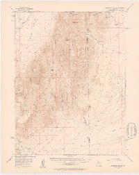
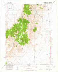
Editions of this 1956 Ackerman Canyon Map
4 editions found

Other maps of this area

1926 · Roberts Mountains
USGS Topo · 1:250,000

1929 · Roberts Mountains
USGS Topo · 1:250,000

1949 · Roberts Creek Mtn
USGS Topo · 1:62,500

1951 · Roberts Creek Mtn
USGS Topo · 1:62,500

1955 · Millett
USGS Topo · 1:250,000

1956 · Bartine Ranch
USGS Topo · 1:62,500

1956 · Mount Callaghan
USGS Topo · 1:62,500

1956 · Walti Hot Springs
USGS Topo · 1:62,500

1956 · Antelope Peak
USGS Topo · 1:62,500

1956 · Hall Creek
USGS Topo · 1:62,500