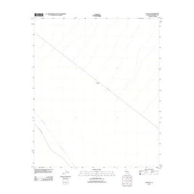
2012 Map of Acolita
USGS Topo · Published 2012About this map
Acolita defines this corner of the Imperial County desert, appearing at a remote junction where the landscape is shaped by crucial water management and access routes. The Coachella Canal cuts through the southwestern portion of the quadrangle, a vital piece of agricultural infrastructure that transformed this arid region. Paralleling the waterway, the Coachella Canal Rd and the intersecting Ted Kipp Rd provide the primary transit corridor through a terrain otherwise defined by numerous drainage washes. This 2012 survey by the U.S. Geological Survey captures the modern state of these desert lifelines, illustrating how the built environment in this part of California remains inextricably linked to the movement of water.
Find a feature on this map
4 named features on this map. Tap any name to fly to it.
Don’t see what you’re looking for? This feature index may not catch every label — zoom into the map to look around manually.
Map Details
Editions of this 2012 Acolita Map
This is the sole edition of this map. No revisions or reprints were ever made.
Other maps of this area

1907 · Holtville
USGS Topo · 1:125,000

1940 · Iris
USGS Topo · 1:62,500

1940 · Alamorio
USGS Topo · 1:62,500

1942 · El Centro
USGS Topo · 1:250,000

1945 · Alamorio
USGS Topo · 1:62,500

1945 · Iris
USGS Topo · 1:62,500

1953 · Acolita
USGS Topo · 1:24,000

1953 · Acolita
USGS Topo · 1:62,500

1954 · El Centro
USGS Topo · 1:250,000

1954 · Salton Sea
USGS Topo · 1:250,000