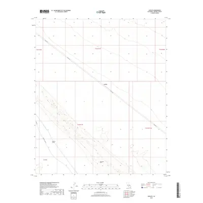
2018 Map of Acolita
USGS Topo · Published 2018About this map
Algodones Dunes dominate the southeastern landscape of this Imperial County desert region, where shifting sands meet the engineered infrastructure of the Imperial Valley. The Coachella Canal cuts a distinct line through the East Mesa, representing the critical role of water management in this arid environment. The settlement of Acolita serves as a central point along the diagonal route of Ted Kipf Rd, which traverses the township. This 2018 survey captures the intersection of natural desert landforms and the essential transportation and irrigation corridors that sustain the local geography, including Green Rd and Coachella Canal Rd.
Find a feature on this map
13 named features on this map. Tap any name to fly to it.
Don’t see what you’re looking for? This feature index may not catch every label — zoom into the map to look around manually.
Map Details
Editions of this 2018 Acolita Map
This is the sole edition of this map. No revisions or reprints were ever made.
Other maps of this area

1907 · Holtville
USGS Topo · 1:125,000

1940 · Iris
USGS Topo · 1:62,500

1940 · Alamorio
USGS Topo · 1:62,500

1942 · El Centro
USGS Topo · 1:250,000

1945 · Alamorio
USGS Topo · 1:62,500

1945 · Iris
USGS Topo · 1:62,500

1953 · Acolita
USGS Topo · 1:24,000

1953 · Acolita
USGS Topo · 1:62,500

1954 · El Centro
USGS Topo · 1:250,000

1954 · Salton Sea
USGS Topo · 1:250,000