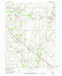
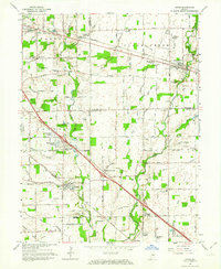
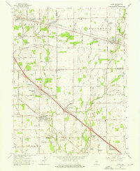
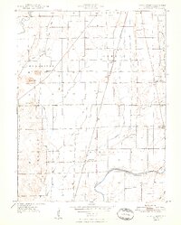
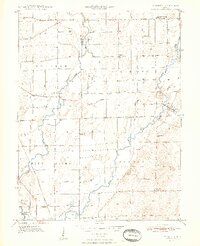
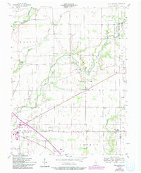
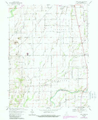
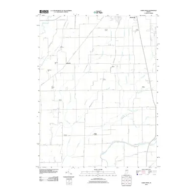
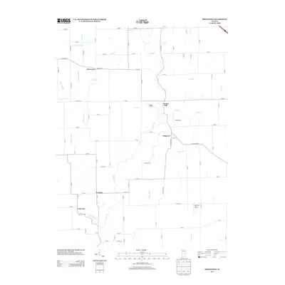
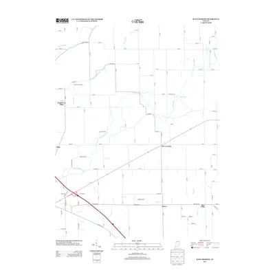
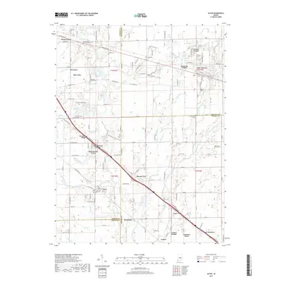
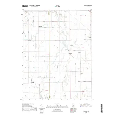
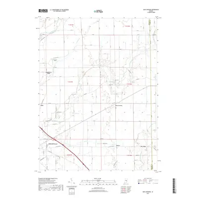
1962 Map of Acton
USGS Topo · Published 1982About this map
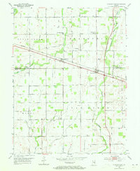
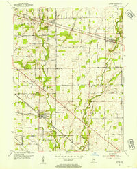
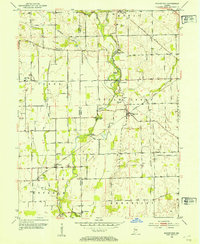
Sugar Creek defines the eastern landscape of this Indiana region, where several counties—Marion, Hancock, Shelby, and Johnson—converge. The settlement pattern in the early 1960s shows a mix of established village centers and emerging residential developments. Acton sits at the heart of Franklin township, while New Palestine anchors the northeastern corner along the Baltimore and Ohio railroad. This map preserves a view of the rural-suburban transition, as established family names appear in landmarks like Schildmeier Cem and the Old Sugar Creek Cem.
Find a feature on this map
93 named features on this map. Tap any name to fly to it.
Don’t see what you’re looking for? This feature index may not catch every label — zoom into the map to look around manually.
Map Details
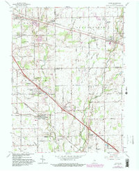
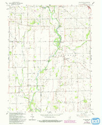
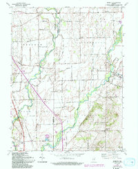
Editions of this 1962 Acton Map
4 editions found
Historical Maps of Indianapolis Through Time
41 maps found
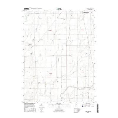
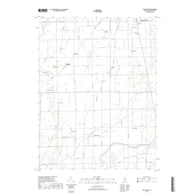
1948 Lewis Creek
Shelby County, IN
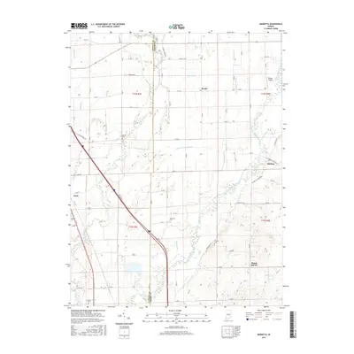
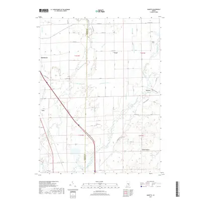
1948 Marietta
Shelby County, IN

1950 Edinburg
Shelby County, IN
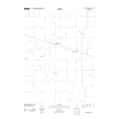
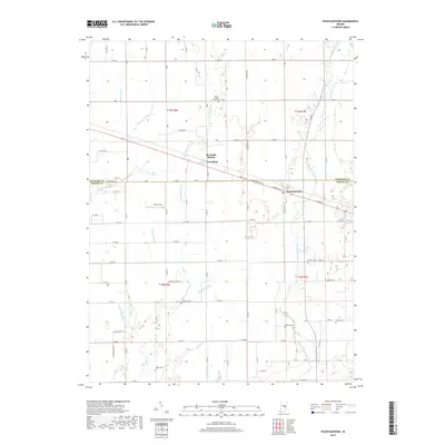
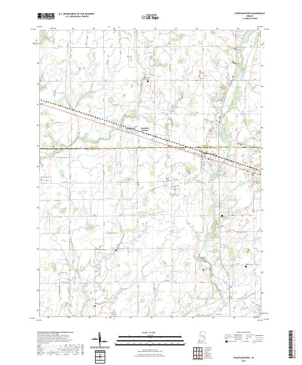
1952 Fountaintown
Shelby County, IN
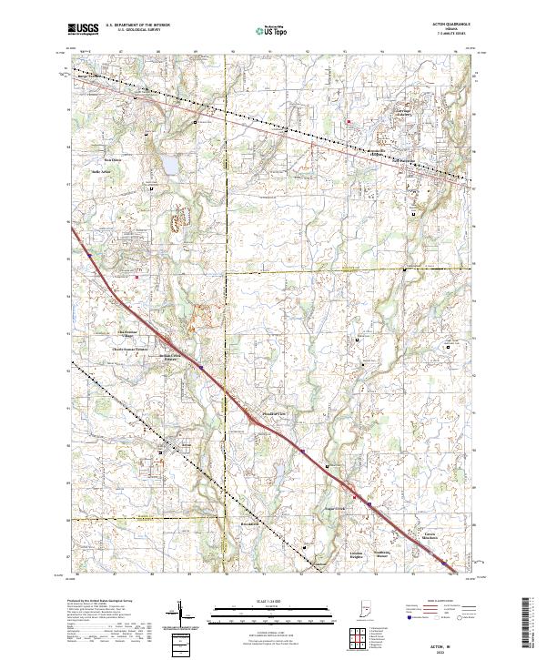
1953 Acton
Shelby County, IN
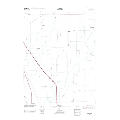
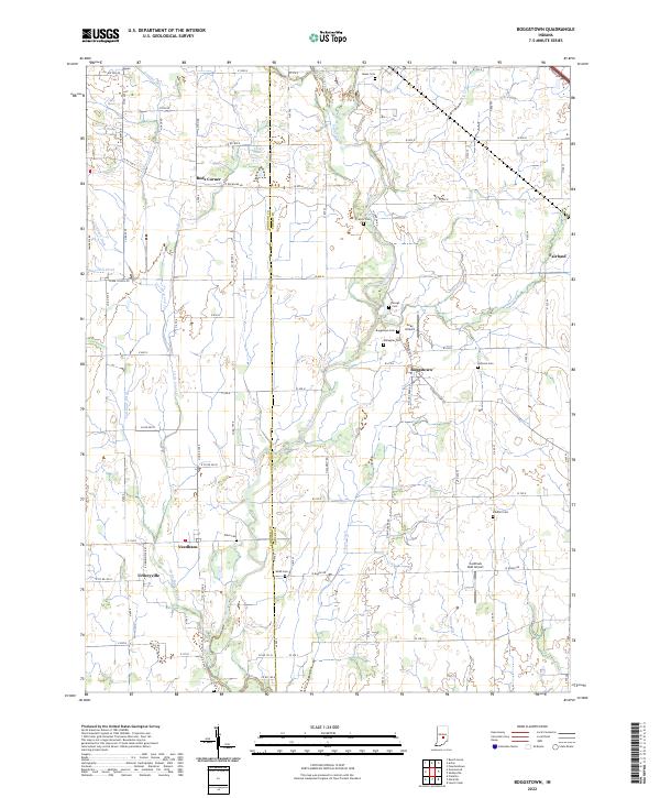
1953 Boggstown
Shelby County, IN
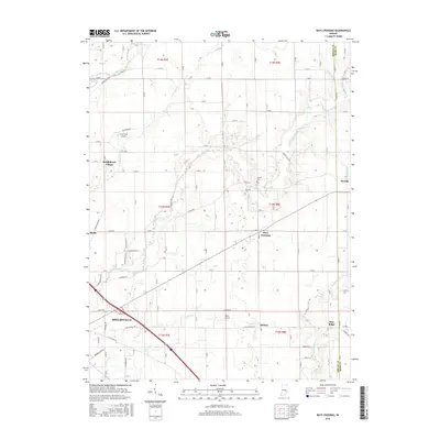
1956 Rays Crossing
Shelby County, IN
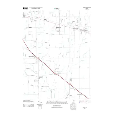
1962 Acton
Shelby County, IN
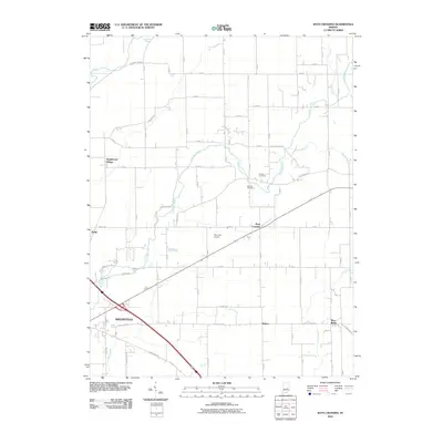
1962 Boggstown
Shelby County, IN
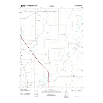
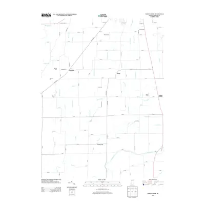
1962 Marietta
Shelby County, IN
1968 Lewis Creek
Shelby County, IN
2010 Acton
Shelby County, IN
2010 Boggstown
Shelby County, IN
2010 Fountaintown
Shelby County, IN
2010 Lewis Creek
Shelby County, IN
2010 Marietta
Shelby County, IN
2010 Rays Crossing
Shelby County, IN
2013 Acton
Shelby County, IN
2013 Boggstown
Shelby County, IN
2013 Fountaintown
Shelby County, IN
2013 Lewis Creek
Shelby County, IN
2013 Marietta
Shelby County, IN
2013 Rays Crossing
Shelby County, IN
2016 Acton
Shelby County, IN
2016 Boggstown
Shelby County, IN
2016 Fountaintown
Shelby County, IN
2016 Lewis Creek
Shelby County, IN
2016 Marietta
Shelby County, IN
2016 Rays Crossing
Shelby County, IN
2019 Acton
Shelby County, IN
2019 Boggstown
Shelby County, IN
2019 Fountaintown
Shelby County, IN
2019 Lewis Creek
Shelby County, IN
2019 Marietta
Shelby County, IN
2019 Rays Crossing
Shelby County, IN
2022 Acton
Shelby County, IN
2022 Boggstown
Shelby County, IN
2022 Fountaintown
Shelby County, IN
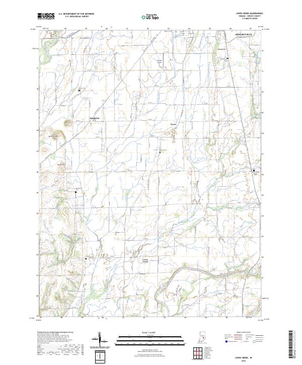
2022 Lewis Creek
Shelby County, IN
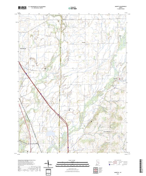
2022 Marietta
Shelby County, IN
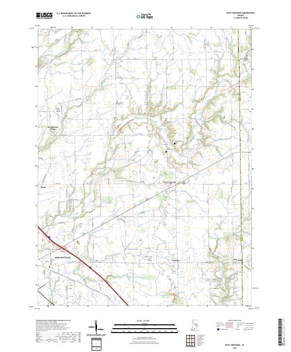
2022 Rays Crossing
Shelby County, IN