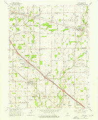
1962 Map of Acton
USGS Topo · Published 1976About this map
Acton and New Palestine anchor this 1962 landscape southeast of Indianapolis, where the agricultural traditions of the Central Indiana till plain meet mid-century suburban expansion. The era's development is evident in new residential clusters like Charlemac Village and Carriage Estates, yet the geography remains defined by the legacy of early 19th-century settlement. Local heritage is preserved in numerous family and community landmarks, including Schildmeier Cem and the Old Sugar Creek Cem.
Find a feature on this map
67 named features on this map. Tap any name to fly to it.
Don’t see what you’re looking for? This feature index may not catch every label — zoom into the map to look around manually.
Map Details
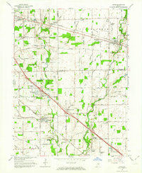
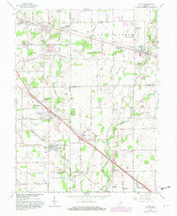
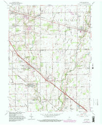
Editions of this 1962 Acton Map
4 editions found
Other maps of this area

1948 · Indianapolis East
USGS Topo · 1:24,000

1948 · Beech Grove
USGS Topo · 1:24,000

1952 · Cumberland
USGS Topo · 1:24,000

1952 · Greenfield
USGS Topo · 1:24,000

1952 · Fountaintown
USGS Topo · 1:24,000

1953 · Greenwood
USGS Topo · 1:24,000

1953 · Shelbyville
USGS Topo · 1:24,000

1953 · Acton
USGS Topo · 1:24,000

1953 · Boggstown
USGS Topo · 1:24,000

1953 · Cincinnati
USGS Topo · 1:250,000