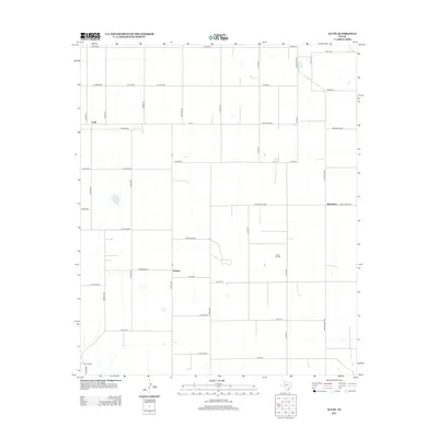
2012 Map of Acuff
USGS Topo · Published 2012About this map
The settlement of Acuff anchors the northwest corner of this agricultural landscape in Lubbock County, where a precise grid of county roads defines the rural layout. Located on the high plains of West Texas, the area is characterized by scattered ranching and energy operations, most notably the Ha-Ra Oil Field in the southeastern quadrant. This 2012 survey illustrates the connectivity between small communities like Midway and Robertson via arterial routes such as Fm-40 and Ranch Road 40. Local life and property boundaries are traced through a network of named thoroughfares including Winniford Rd and Robertson Rd, while the presence of the S-Bar Ranch in the southwest highlights the continued importance of large-scale ranching in the region.
Find a feature on this map
47 named features on this map. Tap any name to fly to it.
Don’t see what you’re looking for? This feature index may not catch every label — zoom into the map to look around manually.
Map Details
Editions of this 2012 Acuff Map
This is the sole edition of this map. No revisions or reprints were ever made.
Other maps of this area

1954 · Lubbock
USGS Topo · 1:250,000

1965 · Acuff
USGS Topo · 1:24,000

1965 · Slaton
USGS Topo · 1:24,000

1965 · Buffalo Springs Lake
USGS Topo · 1:24,000

1965 · Slaton NE
USGS Topo · 1:24,000

1965 · Idalou
USGS Topo · 1:24,000

1965 · Lorenzo
USGS Topo · 1:24,000

1966 · Cap Rock
USGS Topo · 1:24,000

1967 · Ralls
USGS Topo · 1:24,000

1967 · Savage
USGS Topo · 1:24,000