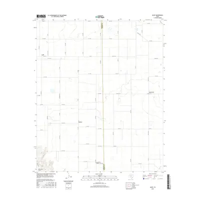
2016 Map of Acuff
USGS Topo · Published 2016About this map
Acuff and its surrounding agricultural landscape define this portion of the Texas South Plains along the Lubbock Co Crosby Co line. The map illustrates a strictly gridded system of rural roads, including Winterberry Ave and Adams St, which facilitate movement between the small settlements of Midway and Robertson. The terrain is characterized by the sudden descent into the erosional features of the Llano Estacado, most notably where Long Hollow Canyon and Yellow House Canyon break the otherwise flat horizon. This 2016 survey documents the enduring layout of West Texas farm-to-market life, showing how modern corridors like FM 789 and Ranch Rd 378 serve a sparsely populated region defined by wide-open spaces and the subtle topography of dry canyon draws.
Find a feature on this map
54 named features on this map. Tap any name to fly to it.
Don’t see what you’re looking for? This feature index may not catch every label — zoom into the map to look around manually.
Map Details
Editions of this 2016 Acuff Map
This is the sole edition of this map. No revisions or reprints were ever made.
Other maps of this area

1954 · Lubbock
USGS Topo · 1:250,000

1965 · Acuff
USGS Topo · 1:24,000

1965 · Slaton
USGS Topo · 1:24,000

1965 · Buffalo Springs Lake
USGS Topo · 1:24,000

1965 · Slaton NE
USGS Topo · 1:24,000

1965 · Idalou
USGS Topo · 1:24,000

1965 · Lorenzo
USGS Topo · 1:24,000

1966 · Cap Rock
USGS Topo · 1:24,000

1967 · Ralls
USGS Topo · 1:24,000

1967 · Savage
USGS Topo · 1:24,000