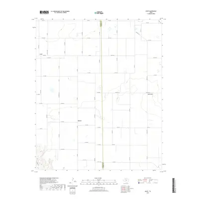
2019 Map of Acuff
USGS Topo · Published 2019About this map
Acuff and Midway anchor the western portion of this high plains agricultural landscape, where the geometry of West Texas section lines is interrupted by the subtle, winding contours of the South Plains. This 2019 survey documents a region defined by its wide-reaching road network, where Fm 789 and E Fm 40 serve as primary arteries through a terrain dotted with small playas and intermittent water features. To the east, the settlement of Robertson sits near the Lubbock Co Crosby Co line, illustrating the sparse but deliberate distribution of communities across the cotton and grain fields. The map reveals a transition in land management through naming conventions, where standard county roads like Co Rd 182 give way to larger tracts served by Ranch Rd 40 and Ranch Rd 378, reflecting the agricultural heritage of this part of the Llano Estacado.
Find a feature on this map
54 named features on this map. Tap any name to fly to it.
Don’t see what you’re looking for? This feature index may not catch every label — zoom into the map to look around manually.
Map Details
Editions of this 2019 Acuff Map
This is the sole edition of this map. No revisions or reprints were ever made.
Other maps of this area

1954 · Lubbock
USGS Topo · 1:250,000

1965 · Acuff
USGS Topo · 1:24,000

1965 · Slaton
USGS Topo · 1:24,000

1965 · Buffalo Springs Lake
USGS Topo · 1:24,000

1965 · Slaton NE
USGS Topo · 1:24,000

1965 · Idalou
USGS Topo · 1:24,000

1965 · Lorenzo
USGS Topo · 1:24,000

1966 · Cap Rock
USGS Topo · 1:24,000

1967 · Ralls
USGS Topo · 1:24,000

1967 · Savage
USGS Topo · 1:24,000