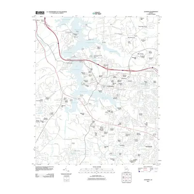
2011 Map of Acworth
USGS Topo · Published 2011About this map
Acworth and the northern reaches of Kennesaw are defined by the expansive waters of Allatoona Lake, where mid-century infrastructure meets a landscape of legacy settlements. The map highlights the intensive recreational and residential development along the shoreline, featuring numerous day-use areas such as the Allatoona Creek Day Use Area and community landmarks like Acworth Beach. The presence of the Glade Mine and Etowah Mills north of the lake points to the area's earlier industrial roots, while the density of family-named burial grounds, including the McKinney Family Cemetery and Grogan-House Cemetery, provides a wealth of data for genealogical research.
Find a feature on this map
141 named features on this map. Tap any name to fly to it.
Don’t see what you’re looking for? This feature index may not catch every label — zoom into the map to look around manually.
Map Details
Editions of this 2011 Acworth Map
This is the sole edition of this map. No revisions or reprints were ever made.
Other maps of this area

1890 · Cartersville
USGS Topo · 1:125,000

1891 · Marietta
USGS Topo · 1:125,000

1891 · Cartersville
USGS Topo · 1:125,000

1895 · Marietta
USGS Topo · 1:125,000

1896 · Cartersville
USGS Topo · 1:125,000

1897 · Marietta
USGS Topo · 1:125,000

1901 · Marietta
USGS Topo · 1:125,000

1906 · Stilesboro
USGS Topo · 1:62,500

1907 · Acworth
USGS Topo · 1:62,500

1908 · Stilesboro
USGS Topo · 1:62,500