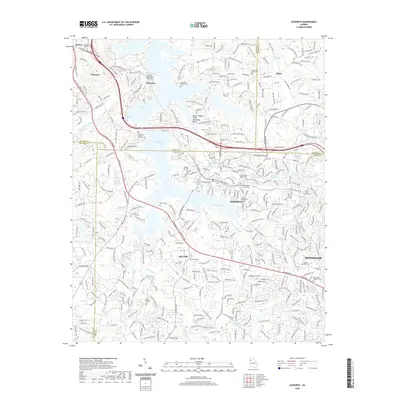
2020 Map of Acworth
USGS Topo · Published 2020About this map
Allatoona Lake and Lake Acworth dominate the landscape of northwest Georgia, illustrating the complex intersection of Bartow, Cobb, Paulding, and Cherokee counties. This modern topographic view shows the established suburban patterns of Acworth and Kennesaw alongside long-standing local landmarks. Genealogists will find a high density of burial sites, ranging from churchyards like New Zion Baptist Church Cem and Hickory Grove Baptist Cem to family plots such as the McKinney Family Cem and the Peters Cem.
Find a feature on this map
324 named features on this map. Tap any name to fly to it.
Don’t see what you’re looking for? This feature index may not catch every label — zoom into the map to look around manually.
Map Details
Editions of this 2020 Acworth Map
This is the sole edition of this map. No revisions or reprints were ever made.
Other maps of this area

1890 · Cartersville
USGS Topo · 1:125,000

1891 · Marietta
USGS Topo · 1:125,000

1891 · Cartersville
USGS Topo · 1:125,000

1895 · Marietta
USGS Topo · 1:125,000

1896 · Cartersville
USGS Topo · 1:125,000

1897 · Marietta
USGS Topo · 1:125,000

1901 · Marietta
USGS Topo · 1:125,000

1906 · Stilesboro
USGS Topo · 1:62,500

1907 · Acworth
USGS Topo · 1:62,500

1908 · Stilesboro
USGS Topo · 1:62,500