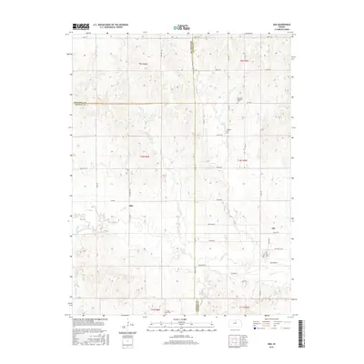
2016 Map of Ada
USGS Topo · Published 2016About this map
The small settlements of Ada and Milo anchor this landscape at the intersection of Ottawa, Lincoln, and Mitchell counties. This rural Kansas region is defined by a dendritic network of waterways, including Salt Cr and the various branches of Elkhorn Creek, which carve through the terrain. The map provides a detailed record of local genealogy and burial sites, marking the Bohemain National Cem, Baldwin Cem, and Spring Creek Cem.
Find a feature on this map
38 named features on this map. Tap any name to fly to it.
Don’t see what you’re looking for? This feature index may not catch every label — zoom into the map to look around manually.
Map Details
Editions of this 2016 Ada Map
This is the sole edition of this map. No revisions or reprints were ever made.
Other maps of this area

1892 · Minneapolis
USGS Topo · 1:125,000

1894 · Beloit
USGS Topo · 1:125,000

1952 · Glasco SW
USGS Topo · 1:24,000

1952 · Glasco
USGS Topo · 1:24,000

1955 · Manhattan
USGS Topo · 1:250,000

1955 · Beloit
USGS Topo · 1:250,000

1956 · Manhattan
USGS Topo · 1:250,000

1957 · Manhattan
USGS Topo · 1:250,000

1959 · Beloit
USGS Topo · 1:250,000

1961 · Tescott NE
USGS Topo · 1:24,000