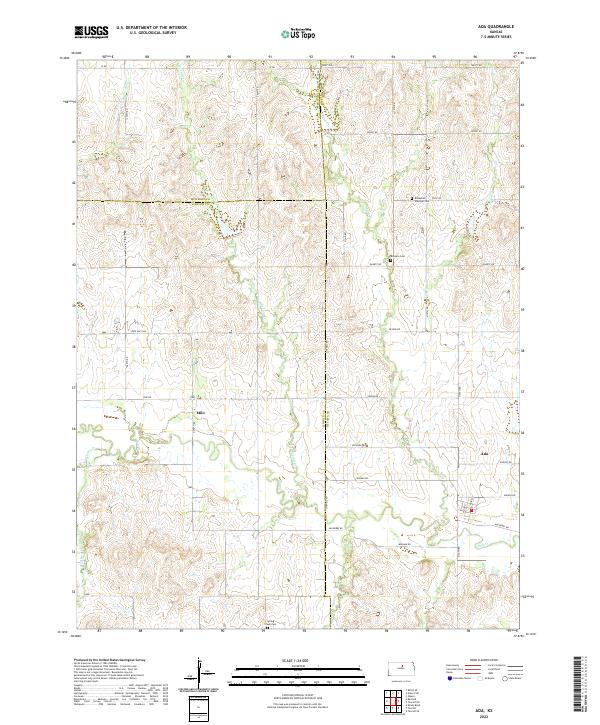
2022 Map of Ada
USGS Topo · Published 2022About this map
The rolling plains of north-central Kansas converge where Salt Cr meets several tributaries, forming the geographic heart of this rural landscape. This area, spanning the borders of Ottawa, Lincoln, and Mitchell Counties, is anchored by the small settlements of Ada and Milo. The land is defined by its drainage patterns, with W Elkhorn Cr, Second Cr, and First Cr carving gentle valleys through the prairie.
Find a feature on this map
36 named features on this map. Tap any name to fly to it.
Don’t see what you’re looking for? This feature index may not catch every label — zoom into the map to look around manually.
Map Details
Editions of this 2022 Ada Map
This is the sole edition of this map. No revisions or reprints were ever made.
Other maps of this area

1892 · Minneapolis
USGS Topo · 1:125,000

1894 · Beloit
USGS Topo · 1:125,000

1952 · Glasco SW
USGS Topo · 1:24,000

1952 · Glasco
USGS Topo · 1:24,000

1955 · Manhattan
USGS Topo · 1:250,000

1955 · Beloit
USGS Topo · 1:250,000

1956 · Manhattan
USGS Topo · 1:250,000

1957 · Manhattan
USGS Topo · 1:250,000

1959 · Beloit
USGS Topo · 1:250,000

1961 · Tescott NE
USGS Topo · 1:24,000