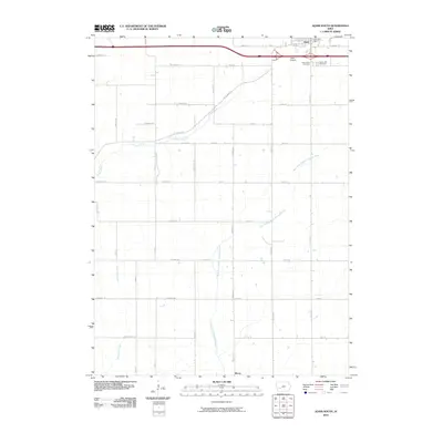
2010 Map of Adair South
USGS Topo · Published 2010About this map
The town of Adair anchors the northern edge of this Iowa landscape, where the Adair Post Office and nearby burial grounds like Saint Johns Cemetery and Sunny Hill Cemetery serve as central community hubs. This 2010 survey illustrates the transition from the concentrated residential streets of the town to the expansive agricultural grid of the surrounding countryside. A network of local corridors, including the historically named White Pole Rd and Chicago Rd, crisscrosses the terrain, facilitating travel between the scattered farms and the small settlement of Berea to the south.
Find a feature on this map
41 named features on this map. Tap any name to fly to it.
Don’t see what you’re looking for? This feature index may not catch every label — zoom into the map to look around manually.
Map Details
Editions of this 2010 Adair South Map
This is the sole edition of this map. No revisions or reprints were ever made.
Other maps of this area

1954 · Omaha
USGS Topo · 1:250,000

1957 · Omaha
USGS Topo · 1:250,000

1957 · Audubon
USGS Topo · 1:62,500

1958 · Omaha
USGS Topo · 1:250,000

1971 · Adair South
USGS Topo · 1:24,000

1971 · Anita
USGS Topo · 1:24,000

1971 · Fontanelle
USGS Topo · 1:24,000

1971 · Canby
USGS Topo · 1:24,000

1971 · Massena
USGS Topo · 1:24,000

1971 · Casey
USGS Topo · 1:24,000