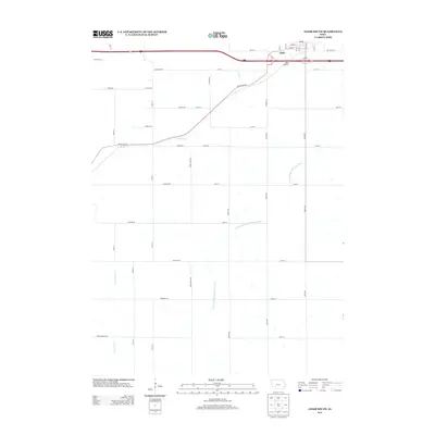
2013 Map of Adair South
USGS Topo · Published 2013About this map
The settlement of Adair sits at the northern edge of this landscape, positioned along the historic east-west corridor of White Pole Rd and the Adair Viaduct. This 2013 survey reveals the organized agricultural grid typical of southwestern Iowa, where property and passage are defined by a network of named avenues and roads like Afton Ave and Adair-Cass Ave. The terrain is shaped by the drainage patterns of the W Fork Middle Nodaway River, which winds south from the town site, joined by tributaries such as Turkey Cr and Sevenmile Cr. This rural expanse is crisscrossed by historic routes including Chicago Rd and Agency Ln, illustrating the enduring importance of local transport links between farmsteads and the rail-aligned community of Adair.
Find a feature on this map
49 named features on this map. Tap any name to fly to it.
Don’t see what you’re looking for? This feature index may not catch every label — zoom into the map to look around manually.
Map Details
Editions of this 2013 Adair South Map
This is the sole edition of this map. No revisions or reprints were ever made.
Other maps of this area

1954 · Omaha
USGS Topo · 1:250,000

1957 · Omaha
USGS Topo · 1:250,000

1957 · Audubon
USGS Topo · 1:62,500

1958 · Omaha
USGS Topo · 1:250,000

1971 · Adair South
USGS Topo · 1:24,000

1971 · Anita
USGS Topo · 1:24,000

1971 · Fontanelle
USGS Topo · 1:24,000

1971 · Canby
USGS Topo · 1:24,000

1971 · Massena
USGS Topo · 1:24,000

1971 · Casey
USGS Topo · 1:24,000