
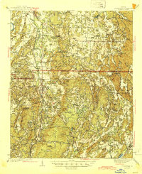
1944 Map of Adairsville
USGS Topo · Published 1944About this map
The Adairsville Airport and the local junction of the Nashville Chattanooga and St Louis and Southern railroads anchor this mid-century survey of the Bartow and Gordon County line. In the foothills of the Appalachian range, the landscape is defined by named peaks like John Gunn Mtn and Pine Log Mtn, alongside the Oostanaula R in the northwest. Local history is deeply embedded in the rural road network, featuring routes like Rome Road and Rock Fence Road that connect small agrarian communities such as Sonoraville and Farmville.
Find a feature on this map
89 named features on this map. Tap any name to fly to it.
Don’t see what you’re looking for? This feature index may not catch every label — zoom into the map to look around manually.
Map Details
Editions of this 1944 Adairsville Map
2 editions found
Other maps of this area

1886 · Dalton
USGS Topo · 1:125,000

1886 · Ringgold
USGS Topo · 1:125,000

1886 · Rome
USGS Topo · 1:125,000

1890 · Cartersville
USGS Topo · 1:125,000

1891 · Cartersville
USGS Topo · 1:125,000

1892 · Ringgold
USGS Topo · 1:125,000

1892 · Dalton
USGS Topo · 1:125,000

1896 · Cartersville
USGS Topo · 1:125,000

1897 · Dalton
USGS Topo · 1:125,000

1898 · Rome
USGS Topo · 1:125,000