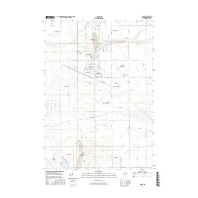
2016 Map of Adams
USGS Topo · Published 2016About this map
Friendship and the neighboring city of Adams serve as the central hub of this central Wisconsin landscape, where the street grids of both settlements meet near the banks of Friendship Lake. The topography is defined by dramatic glacial features, most notably Friendship Mound, which rises sharply above the surrounding plain, along with several other prominent formations including Houghton Rock, Lighthouse Rock, and Rattlesnake Mound. These landmarks provided essential orientation for early travelers and remains central to the area's identity.
Find a feature on this map
48 named features on this map. Tap any name to fly to it.
Don’t see what you’re looking for? This feature index may not catch every label — zoom into the map to look around manually.
Map Details
Editions of this 2016 Adams Map
This is the sole edition of this map. No revisions or reprints were ever made.
Other maps of this area

1955 · Green Bay
USGS Topo · 1:250,000

1957 · Madison
USGS Topo · 1:250,000

1958 · Arkdale
USGS Topo · 1:48,000

1958 · Coloma
USGS Topo · 1:48,000

1960 · Madison
USGS Topo · 1:250,000

1961 · Oxford
USGS Topo · 1:62,500

1961 · Adams
USGS Topo · 1:62,500

1967 · Roche A Cri
USGS Topo · 1:24,000
1967 · Arkdale
USGS Topo · 1:24,000

1968 · Coloma SW
USGS Topo · 1:24,000