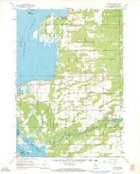
1967 Map of Arkdale
USGS Topo · Published 1969About this map
Petenwell Flowage and the northern reaches of Castle Rock Flowage dominate the western edge of this central Wisconsin landscape, reflecting the mid-century transformation of the Wisconsin River valley. The map documents a predominantly rural and agricultural environment punctuated by small settlements like Arkdale and Monroe Center. The density of communal sites such as Monroe Center Cem, Strongs Prairie Cem, and the Roche a Cri Sch indicates a well-established social fabric tied to the land. This survey provides a precise record of the shoreline and road network, including Black Hawk Avenue and Cottonville Avenue, as they existed shortly after the creation of these massive hydroelectric reservoirs. The inclusion of Arkdale Lake and the winding course of Big Roche a Cri Creek highlights the intricate hydrology that supported local industry and recreation in Strongs Prairie.
Find a feature on this map
30 named features on this map. Tap any name to fly to it.
Don’t see what you’re looking for? This feature index may not catch every label — zoom into the map to look around manually.
Map Details
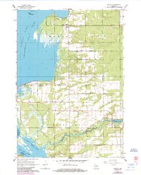
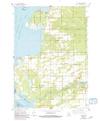
Editions of this 1967 Arkdale Map
3 editions found
Other maps of this area

1921 · Mauston
USGS Topo · 1:62,500

1953 · Eau Claire
USGS Topo · 1:250,000

1955 · Green Bay
USGS Topo · 1:250,000

1957 · Madison
USGS Topo · 1:250,000

1958 · Eau Claire
USGS Topo · 1:250,000

1958 · Arkdale
USGS Topo · 1:48,000

1958 · Necedah
USGS Topo · 1:48,000

1958 · La Crosse
USGS Topo · 1:250,000

1960 · Madison
USGS Topo · 1:250,000

1961 · La Crosse
USGS Topo · 1:250,000