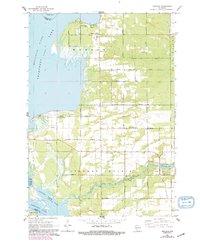
1967 Map of Arkdale
USGS Topo · Published 1991About this map
Petenwell Lake and the Wisconsin River dominate the western edge of this central Wisconsin landscape, where the waters define the boundary between Juneau and Adams Counties. The settlement of Arkdale sits along the banks of Arkdale Lake, connected to the wider hydrological system by Big Roche a Cri Creek. This 1967 survey reveals a rural landscape organized by a rigid grid of local thoroughfares such as Chicago Avenue and Cottonville Drive, which cut through the level terrain of the Big Flats. Genealogists will find significant value in the numerous local burial sites, including the Monroe Center Cem, Strongs Prairie Cem, and the pair of cemeteries serving the Arkdale community. The presence of the Roche a Cri Sch and Petenwell County Park further illustrates the established civic and recreational footprint of these mid-century riverside townships.
Find a feature on this map
34 named features on this map. Tap any name to fly to it.
Don’t see what you’re looking for? This feature index may not catch every label — zoom into the map to look around manually.
Map Details
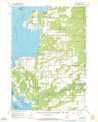
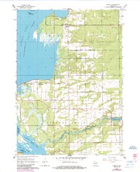
Editions of this 1967 Arkdale Map
3 editions found
Other maps of this area

1921 · Mauston
USGS Topo · 1:62,500

1953 · Eau Claire
USGS Topo · 1:250,000

1955 · Green Bay
USGS Topo · 1:250,000

1957 · Madison
USGS Topo · 1:250,000

1958 · Eau Claire
USGS Topo · 1:250,000

1958 · Arkdale
USGS Topo · 1:48,000

1958 · Necedah
USGS Topo · 1:48,000

1958 · La Crosse
USGS Topo · 1:250,000

1960 · Madison
USGS Topo · 1:250,000

1961 · La Crosse
USGS Topo · 1:250,000