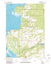
1967 Map of Arkdale
USGS Topo · Published 1985About this map
Petenwell Lake and Castle Rock Lake dominate the western boundary of this landscape along the Wisconsin River, where the waters shift between wide reservoirs and the natural course of Big Roche a Cri Creek. The area is characterized by organized rural blocks, where long-established farming communities like Monroe Center and Strongs Prairie are anchored by their respective burial grounds. Toward the southeast, the village of Arkdale sits adjacent to Arkdale Lake, which features a recorded spillway. The presence of numerous cemeteries, including West Arkdale Cem and Edwardson Cem, alongside the Roche a Cri Sch, provides a detailed record of the social infrastructure supporting these central Wisconsin townships during the mid-to-late 20th century.
Find a feature on this map
36 named features on this map. Tap any name to fly to it.
Don’t see what you’re looking for? This feature index may not catch every label — zoom into the map to look around manually.
Map Details
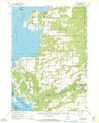
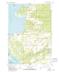
Editions of this 1967 Arkdale Map
3 editions found
Other maps of this area

1921 · Mauston
USGS Topo · 1:62,500

1953 · Eau Claire
USGS Topo · 1:250,000

1955 · Green Bay
USGS Topo · 1:250,000

1957 · Madison
USGS Topo · 1:250,000

1958 · Eau Claire
USGS Topo · 1:250,000

1958 · Arkdale
USGS Topo · 1:48,000

1958 · Necedah
USGS Topo · 1:48,000

1958 · La Crosse
USGS Topo · 1:250,000

1960 · Madison
USGS Topo · 1:250,000

1961 · La Crosse
USGS Topo · 1:250,000