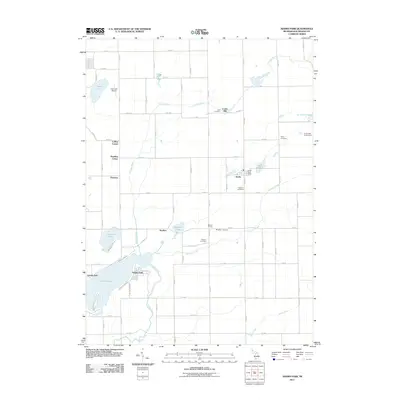
2011 Map of Adams Park
USGS Topo · Published 2011About this map
The Portage River winds through this section of Kalamazoo County, shaping a landscape defined by small crossroads settlements and scattered water bodies. The community of Scotts serves as a central point of interest, featuring the Scotts Post Office, while other early junctions like Collins Corner, McKain Corners, and Pomeroy illustrate the traditional rural settlement pattern of the Michigan interior. Notable for genealogists are the numerous burial grounds distributed across the township, including Cook Cemetery, Gilson Cemetery, and Wolcott Cemetery.
Find a feature on this map
64 named features on this map. Tap any name to fly to it.
Don’t see what you’re looking for? This feature index may not catch every label — zoom into the map to look around manually.
Map Details
Editions of this 2011 Adams Park Map
This is the sole edition of this map. No revisions or reprints were ever made.
Other maps of this area

1916 · Kalamazoo
USGS Topo · 1:62,500

1918 · Kalamazoo
USGS Topo · 1:62,500

1918 · Galesburg
USGS Topo · 1:62,500

1918 · Leonidas
USGS Topo · 1:62,500

1922 · Schoolcraft
USGS Topo · 1:62,500

1943 · Kalamazoo
USGS Topo · 1:62,500

1943 · Schoolcraft
USGS Topo · 1:62,500

1944 · Leonidas
USGS Topo · 1:62,500

1944 · Galesburg
USGS Topo · 1:62,500

1947 · Augusta
USGS Topo · 1:24,000