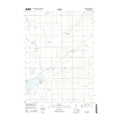
2014 Map of Adams Park
USGS Topo · Published 2014About this map
Cooks Mill and the surrounding agricultural landscape of Kalamazoo County are meticulously documented in this modern topographic study. The drainage patterns of the Portage River and its tributaries, including Dorrance Creek and Asher Drain, define the layout of local infrastructure and land use. The map reveals a high concentration of small, family-named burial grounds such as Cook Cem, Gilson Cem, and McKain Cem, which provide significant genealogical anchors for researchers tracing the heritage of Pavilion and Scotts.
Find a feature on this map
55 named features on this map. Tap any name to fly to it.
Don’t see what you’re looking for? This feature index may not catch every label — zoom into the map to look around manually.
Map Details
Editions of this 2014 Adams Park Map
This is the sole edition of this map. No revisions or reprints were ever made.
Other maps of this area

1916 · Kalamazoo
USGS Topo · 1:62,500

1918 · Kalamazoo
USGS Topo · 1:62,500

1918 · Galesburg
USGS Topo · 1:62,500

1918 · Leonidas
USGS Topo · 1:62,500

1922 · Schoolcraft
USGS Topo · 1:62,500

1943 · Kalamazoo
USGS Topo · 1:62,500

1943 · Schoolcraft
USGS Topo · 1:62,500

1944 · Leonidas
USGS Topo · 1:62,500

1944 · Galesburg
USGS Topo · 1:62,500

1947 · Augusta
USGS Topo · 1:24,000