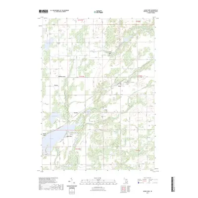
2023 Map of Adams Park
USGS Topo · Published 2023About this map
Indian Lake and its surrounding leisure communities of Adams Park and Lemon Park anchor the southwestern portion of this Kalamazoo County landscape. The area is defined by a dense network of glacial water bodies and drainage systems, including Pickerel Lake, Sagamaw Lake, and the winding Portage River. This hydrographic pattern influenced the location of early industry, such as Cooks Mill, and determined the placement of several small rural hubs including Scotts, Pomeroy, and Pavilion.
Find a feature on this map
74 named features on this map. Tap any name to fly to it.
Don’t see what you’re looking for? This feature index may not catch every label — zoom into the map to look around manually.
Map Details
Editions of this 2023 Adams Park Map
This is the sole edition of this map. No revisions or reprints were ever made.
Other maps of this area

1916 · Kalamazoo
USGS Topo · 1:62,500

1918 · Kalamazoo
USGS Topo · 1:62,500

1918 · Galesburg
USGS Topo · 1:62,500

1918 · Leonidas
USGS Topo · 1:62,500

1922 · Schoolcraft
USGS Topo · 1:62,500

1943 · Kalamazoo
USGS Topo · 1:62,500

1943 · Schoolcraft
USGS Topo · 1:62,500

1944 · Leonidas
USGS Topo · 1:62,500

1944 · Galesburg
USGS Topo · 1:62,500

1947 · Augusta
USGS Topo · 1:24,000