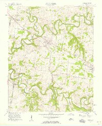
1957 Map of Adams
USGS Topo · Published 1958About this map
The Red River and Sulphur Fork carve deep, winding paths across this Robertson County landscape, defining the rural character of northern Tennessee in the late 1950s. The Louisville and Nashville railroad serves as the primary spine of the region, connecting the significant depots at Sadlersville (Sadlers Sta), Adams, and Cedar Hill. These small hubs provided vital shipping points for the surrounding agricultural community, where small churches like Bells Ch and Little Star Ch anchored local social life.
Find a feature on this map
29 named features on this map. Tap any name to fly to it.
Don’t see what you’re looking for? This feature index may not catch every label — zoom into the map to look around manually.
Map Details
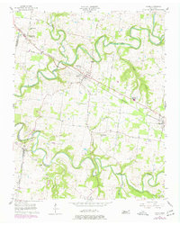
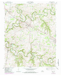
Editions of this 1957 Adams Map
4 editions found
Other maps of this area

1903 · Nashville
USGS Topo · 1:125,000

1931 · Ridgetop
USGS Topo · 1:62,500

1935 · Ridgetop
USGS Topo · 1:62,500

1950 · Allensville
USGS Topo · 1:24,000

1950 · Guthrie
USGS Topo · 1:24,000

1951 · Dot
USGS Topo · 1:24,000

1952 · Springfield North
USGS Topo · 1:24,000

1956 · Nashville
USGS Topo · 1:250,000

1957 · Adams
USGS Topo · 1:24,000

1957 · Pleasant View
USGS Topo · 1:24,000