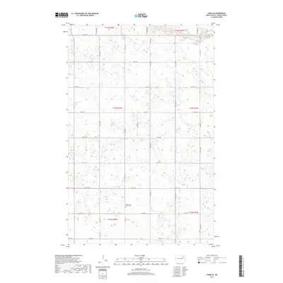
2017 Map of Adams SE
USGS Topo · Published 2017About this map
ZCBJ Narodni Hrbitov Cem serves as a prominent cultural landmark in this section of Walsh County, indicating the heritage of the Czech settlers who farmed this region. The landscape is defined by a dense grid of section-line roads, including 66th St NE and 60th St NE, which segment the agricultural tracts of the Red River Valley. In the northeastern corner, the N Br Forest River cuts through the plains, providing a rare break in the geometric precision of the township lines. This 2017 survey by the U.S. Geological Survey illustrates the enduring rural structure of North Dakota, where modern thoroughfares like Co Hwy 19 and the unpaved Prairie Trl follow the same paths established during the early settlement of t156n r58w and surrounding townships.
Find a feature on this map
19 named features on this map. Tap any name to fly to it.
Don’t see what you’re looking for? This feature index may not catch every label — zoom into the map to look around manually.
Map Details
Editions of this 2017 Adams SE Map
This is the sole edition of this map. No revisions or reprints were ever made.
Other maps of this area

1952 · Thief River Falls
USGS Topo · 1:250,000

1953 · Devils Lake
USGS Topo · 1:250,000

1956 · Thief River Falls
USGS Topo · 1:250,000

1956 · Devils Lake
USGS Topo · 1:250,000

1957 · Thief River Falls
USGS Topo · 1:250,000

1967 · Thief River Falls
USGS Topo · 1:250,000

1971 · Whitman
USGS Topo · 1:24,000
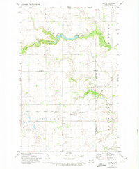
1971 · Dahlen
USGS Topo · 1:24,000

1971 · Pelto
USGS Topo · 1:24,000

1972 · Adams
USGS Topo · 1:24,000