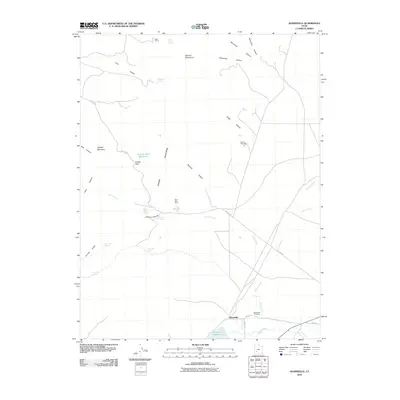
2010 Map of Adamsville
USGS Topo · Published 2010About this map
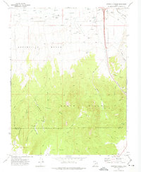
Adamsville serves as the focal point for this survey of southwestern Utah, situated where the Beaver River and Indian Creek meet near the north end of Minersville Reservoir. The landscape is defined by the sharp rise of the Mineral Mountains to the west, a range marked by numerous springs such as Granite Spring and Limestone Spring, as well as several mining prospects including the Beaver View Mine and Blue Star Mine. Evidence of early agricultural engineering is visible in the irrigation network of Furnace Ditch and the upland water storage at Granite Peak Reservoir. Local history and genealogy interest centers on the Adamsville Cemetery and the original street grid of the town, specifically Main ST and Center ST. The mapping captures a network of canyon access points like Cave Canyon and Granite Canyon, alongside travel routes like The Pass RD that cross through Soldier Pass, illustrating the area's mix of ranching, mining, and water management infrastructure.
Find a feature on this map
35 named features on this map. Tap any name to fly to it.
Don’t see what you’re looking for? This feature index may not catch every label — zoom into the map to look around manually.
Map Details
Editions of this 2010 Adamsville Map
This is the sole edition of this map. No revisions or reprints were ever made.
Other maps of this area
1885 · Beaver
USGS Topo · 1:250,000
1953 · Minersville
USGS Topo · 1:24,000
1953 · Cave Canyon
USGS Topo · 1:24,000

1953 · Richfield
USGS Topo · 1:250,000

1958 · Richfield
USGS Topo · 1:250,000
1958 · Minersville
USGS Topo · 1:62,500
1958 · Beaver
USGS Topo · 1:62,500
1958 · Adamsville
USGS Topo · 1:62,500
1958 · Ranch Canyon
USGS Topo · 1:24,000
1971 · Greenville Bench
USGS Topo · 1:24,000