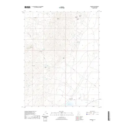
2020 Map of Adamsville
USGS Topo · Published 2020About this map
Adamsville serves as the focal point for this survey of southwestern Utah, situated at the edge of the Minersville Reservoir and the Beaver River. The landscape is defined by the steep elevation changes of the Mineral Mountains, where numerous named canyons and hollows like Beaumont Canyon and Solomons Hollow drain toward the valley floor. Water management is a critical theme of this arid region, evidenced by the presence of the Furnace Ditch and several isolated springs such as Rock Corral Spring and Dripping Spring.
Find a feature on this map
32 named features on this map. Tap any name to fly to it.
Don’t see what you’re looking for? This feature index may not catch every label — zoom into the map to look around manually.
Map Details
Editions of this 2020 Adamsville Map
This is the sole edition of this map. No revisions or reprints were ever made.
Other maps of this area

1885 · Beaver
USGS Topo · 1:250,000

1953 · Minersville
USGS Topo · 1:24,000

1953 · Cave Canyon
USGS Topo · 1:24,000

1953 · Richfield
USGS Topo · 1:250,000

1958 · Richfield
USGS Topo · 1:250,000

1958 · Minersville
USGS Topo · 1:62,500

1958 · Beaver
USGS Topo · 1:62,500

1958 · Adamsville
USGS Topo · 1:62,500

1958 · Ranch Canyon
USGS Topo · 1:24,000
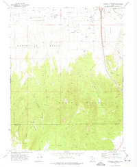
1971 · Greenville Bench
USGS Topo · 1:24,000