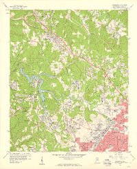
1959 Map of Adamsville
USGS Topo · Published 1960About this map
Mulga Mine and the surrounding industrial landscape dominate this 1959 survey of western Birmingham. The area is characterized by a dense network of coal-related infrastructure, including numerous strip mines, tailings piles, and tipples that serve the Southern Railway and Birmingham Southern RR. The central feature, Bayview Lake, is surrounded by distinct company towns and residential settlements like Docena, Edgewater, and Mulga. These communities are supported by a thorough social infrastructure of local institutions, from Mulga Sch to Crumley Chapel.
Find a feature on this map
85 named features on this map. Tap any name to fly to it.
Don’t see what you’re looking for? This feature index may not catch every label — zoom into the map to look around manually.
Map Details
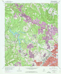
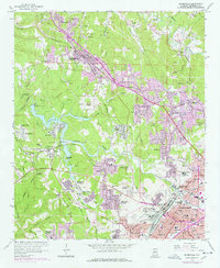
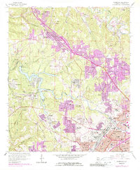
Editions of this 1959 Adamsville Map
4 editions found
Other maps of this area

1889 · Birmingham
USGS Topo · 1:125,000

1890 · Bessemer
USGS Topo · 1:125,000

1892 · Birmingham
USGS Topo · 1:125,000

1892 · Bessemer
USGS Topo · 1:125,000

1893 · Jasper
USGS Topo · 1:125,000

1895 · Birmingham
USGS Topo · 1:125,000

1899 · Brookwood
USGS Topo · 1:125,000

1904 · Birmingham Coal District
USGS Topo · 1:62,500

1905 · Bessemer Iron District
USGS Topo · 1:62,500

1906 · Birmingham Special
USGS Topo · 1:62,500