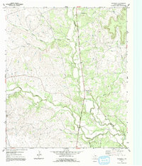
1954 Map of Adamsville
USGS Topo · Published 1992About this map
The Lampasas River valley in Central Texas is defined here by a network of drainage systems including Simms Creek and Turkey Creek. During the mid-1950s, the small community of Adamsville served as a central point for the surrounding rural area, situated along the American Legion Memorial Highway. The landscape is dotted with evidence of early settler foundations, such as the Friendship Sch and family burial sites like Straley Cem and Townsen Cem. Significant topographic markers like Onion Top rise above the branching creeks, while small-scale local industry is noted by a Gravel Pit. The map captures the quiet transition of this ranching and farming country before modern development changed the character of the Texas Hill Country fringe.
Find a feature on this map
17 named features on this map. Tap any name to fly to it.
Don’t see what you’re looking for? This feature index may not catch every label — zoom into the map to look around manually.
Map Details
Editions of this 1954 Adamsville Map
2 editions found
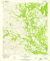
Other maps of this area

1887 · Lampasas
USGS Topo · 1:125,000

1894 · Lampasas
USGS Topo · 1:125,000

1954 · Brownwood
USGS Topo · 1:250,000

1954 · Evant
USGS Topo · 1:62,500

1954 · Lampasas
USGS Topo · 1:62,500

1954 · Evant
USGS Topo · 1:24,000
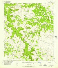
1954 · Izoro
USGS Topo · 1:24,000
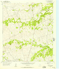
1954 · Flat Top Peak
USGS Topo · 1:24,000
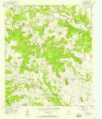
1954 · Pearl
USGS Topo · 1:24,000
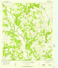
1954 · Rumley
USGS Topo · 1:24,000