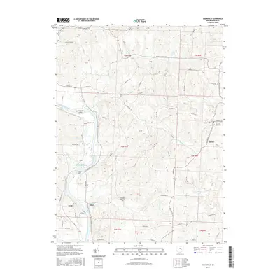
2016 Map of Adamsville
USGS Topo · Published 2016About this map
The Muskingum River flows through this Muskingum County landscape, anchored by the engineering of the Muskingum River Lock and Dam Number 10 near Ellis. This 2016 survey documents the rural character of the region between Dresden and Adamsville, where the terrain is carved by numerous tributaries including Summes Cr, Blount Run, and Beech Run. Smaller settlements like Gilbert, Drake, and Rock Cut dot the river valley, while islands such as Copeland Island and Jackson Island sit within the main channel.
Find a feature on this map
91 named features on this map. Tap any name to fly to it.
Don’t see what you’re looking for? This feature index may not catch every label — zoom into the map to look around manually.
Map Details
Editions of this 2016 Adamsville Map
This is the sole edition of this map. No revisions or reprints were ever made.
Other maps of this area

1908 · Conesville
USGS Topo · 1:62,500

1910 · Frazeysburg
USGS Topo · 1:62,500

1910 · Philo
USGS Topo · 1:62,500

1910 · Zanesville
USGS Topo · 1:62,500

1910 · Conesville
USGS Topo · 1:62,500

1947 · Columbus
USGS Topo · 1:250,000

1949 · Clarksburg
USGS Topo · 1:250,000

1950 · Marion
USGS Topo · 1:250,000

1951 · Canton
USGS Topo · 1:250,000

1953 · Canton
USGS Topo · 1:250,000