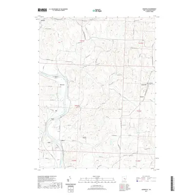
2019 Map of Adamsville
USGS Topo · Published 2019About this map
The Muskingum River dominates the western landscape of this Muskingum County region, winding past Copeland Island and Jackson Island. Small riverfront settlements like Ellis, Rock Cut, and Gilbert follow the water's edge, while the village of Adamsville anchors the eastern upland. The map reveals a dense network of country roads connecting early homesteads and religious sites, such as the Adamsville Baptist Cem and Washington Baptist Cem. Numerous family-named cemeteries are scattered across the township lines, including Stoner Cem and Beatty Cem, providing valuable landmarks for genealogical research. The terrain is defined by complex drainage systems where N Br Symmes Cr and Beech Run carve through the hills towards the main river valley.
Find a feature on this map
90 named features on this map. Tap any name to fly to it.
Don’t see what you’re looking for? This feature index may not catch every label — zoom into the map to look around manually.
Map Details
Editions of this 2019 Adamsville Map
This is the sole edition of this map. No revisions or reprints were ever made.
Other maps of this area

1908 · Conesville
USGS Topo · 1:62,500

1910 · Frazeysburg
USGS Topo · 1:62,500

1910 · Philo
USGS Topo · 1:62,500

1910 · Zanesville
USGS Topo · 1:62,500

1910 · Conesville
USGS Topo · 1:62,500

1947 · Columbus
USGS Topo · 1:250,000

1949 · Clarksburg
USGS Topo · 1:250,000

1950 · Marion
USGS Topo · 1:250,000

1951 · Canton
USGS Topo · 1:250,000

1953 · Canton
USGS Topo · 1:250,000