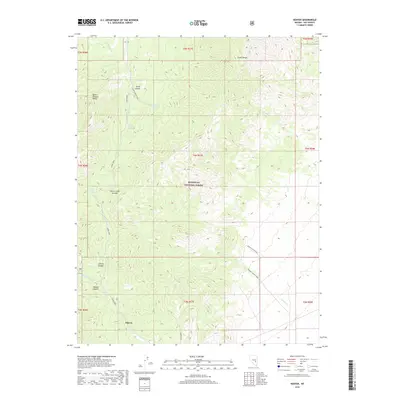
2018 Map of Adaven
USGS Topo · Published 2018About this map
Adaven is positioned at the intersection of several significant geological features where the Grant Range meets the Quinn Canyon Range. This high-elevation terrain within the Humboldt National Forest is defined by sharp vertical relief and a complex system of drainages, including Cherry Canyon and Sawmill Canyon. The landscape's hydrology is marked by ephemeral sources such as Horse Spring and Burnt Canyon Spring, which feed into washes like Ox-Spring Wash.
Find a feature on this map
32 named features on this map. Tap any name to fly to it.
Don’t see what you’re looking for? This feature index may not catch every label — zoom into the map to look around manually.
Map Details
Editions of this 2018 Adaven Map
This is the sole edition of this map. No revisions or reprints were ever made.
Other maps of this area

1956 · Lund
USGS Topo · 1:250,000

1960 · Lund
USGS Topo · 1:250,000

1964 · Troy Canyon
USGS Topo · 1:62,500

1964 · Forest Home
USGS Topo · 1:62,500

1985 · Adaven
USGS Topo · 1:24,000
1985 · Badger Gulch
USGS Topo · 1:24,000
1985 · Wadsworth Ranch
USGS Topo · 1:24,000
1985 · Water Gap NW
USGS Topo · 1:24,000
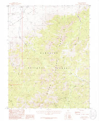
1985 · Nyala
USGS Topo · 1:24,000
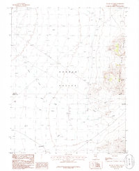
1985 · Water Gap West
USGS Topo · 1:24,000