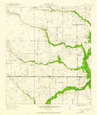
1915 Map of Addicks
USGS Topo · Published 1961About this map
Missouri Kansas and Texas tracks across the central prairie of Harris County, anchoring the small early-century settlements of Barker and Addicks. This landscape is defined by the winding drainage systems of Buffalo Bayou and its many tributaries, including South Mayde Creek and Langham Creek, which are shown before the massive mid-century flood control projects transformed the region. The map reveals a dispersed rural society centered on local institutions like the German Methodist Church and a network of one-room schoolhouses, including the Barker School and Grisbee School.
Find a feature on this map
20 named features on this map. Tap any name to fly to it.
Don’t see what you’re looking for? This feature index may not catch every label — zoom into the map to look around manually.
Map Details
Editions of this 1915 Addicks Map
3 editions found
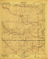
Other maps of this area

1915 · Alief
USGS Topo · 1:24,000

1915 · Cypress
USGS Topo · 1:24,000

1915 · Katy
USGS Topo · 1:24,000

1915 · Addicks
USGS Topo · 1:24,000

1915 · Hillendahl
USGS Topo · 1:24,000

1915 · Clodine
USGS Topo · 1:24,000

1916 · Satsuma
USGS Topo · 1:24,000

1916 · Swanson
USGS Topo · 1:24,000

1918 · Cypress
USGS Topo · 1:31,680

1918 · Addicks
USGS Topo · 1:31,680