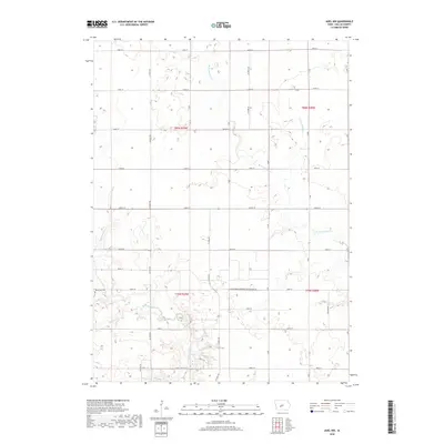
2018 Map of Adel NW
USGS Topo · Published 2018About this map
The agrarian landscape of Linn Township, Iowa, is defined by the steady grid of section lines and the winding tributaries of the Raccoon River watershed. West Linn Cem stands as a focal point for local genealogy, situated near the western edge of the quadrangle. The terrain is marked by essential water management features like Ditch Number 4 and Ditch Number 41, which support the intensive cultivation typical of this region. Industrial infrastructure is notably represented by the Gas Storage-Northern Natural Gas Co facility, located near the center of the sheet. Natural drainage follows the meandering paths of W Br Panther Cr and Mosquito Cr, which cut across the rectilinear road network of Co Hwy P46 and numerous numbered streets. This survey captures a moment in the 21st century where traditional family farm patterns meet modern utility infrastructure.
Find a feature on this map
29 named features on this map. Tap any name to fly to it.
Don’t see what you’re looking for? This feature index may not catch every label — zoom into the map to look around manually.
Map Details
Editions of this 2018 Adel NW Map
This is the sole edition of this map. No revisions or reprints were ever made.
Other maps of this area

1949 · Adel
USGS Topo · 1:62,500

1950 · Perry
USGS Topo · 1:62,500

1951 · Perry
USGS Topo · 1:62,500

1951 · Adel
USGS Topo · 1:62,500

1952 · Panora
USGS Topo · 1:62,500

1954 · Bagley
USGS Topo · 1:62,500

1954 · Omaha
USGS Topo · 1:250,000

1957 · Omaha
USGS Topo · 1:250,000

1958 · Omaha
USGS Topo · 1:250,000
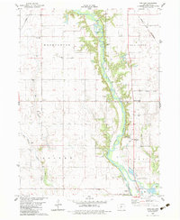
1982 · Panther
USGS Topo · 1:24,000