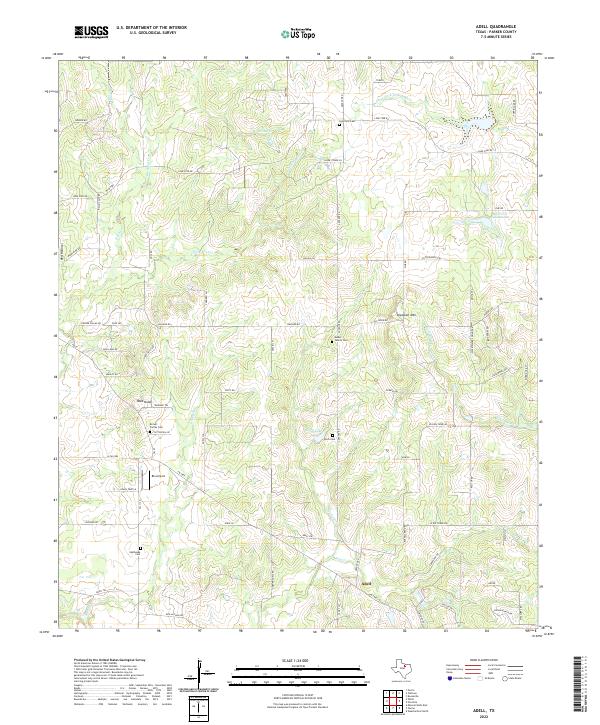
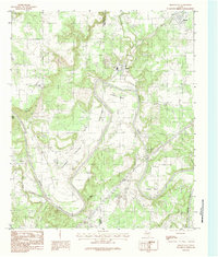
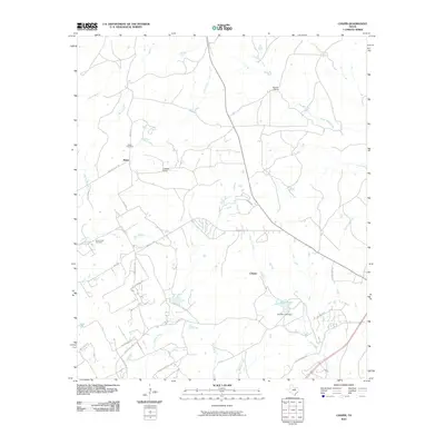
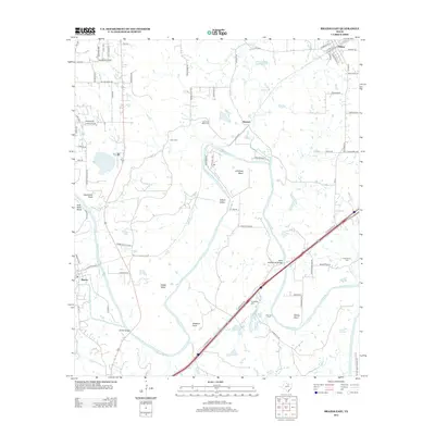
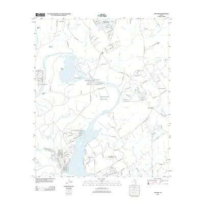
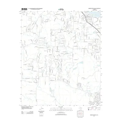
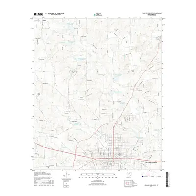
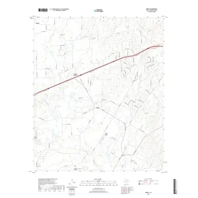
2022 Map of Adell
USGS Topo · Published 2022About this map
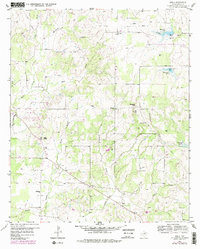
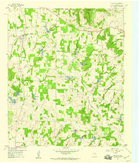
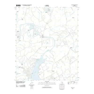
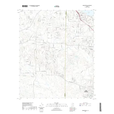
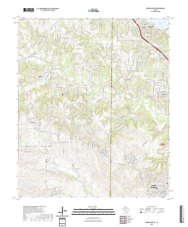
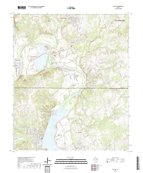
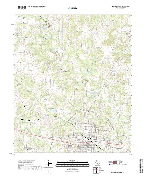
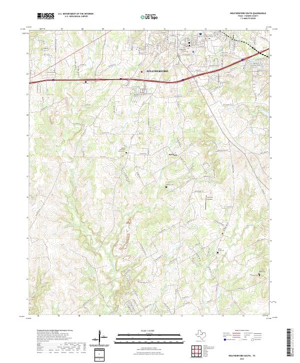
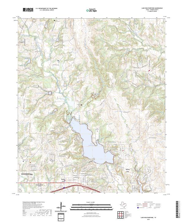
The settlement of Adell serves as the focal point for this survey of north-central Parker County, where a network of rural roads such as Advance Rd and FM 1885 connects isolated family homesteads and ranch lands. The topography is defined by the Clear Fork Trinity River in the northeast and prominent elevations like Bald Knob and Slipdown Mtn. For genealogists, the map is particularly rich in small burial grounds, including the Mader Family Cem, Brown Family Cem, and Risch Cem, documenting the area's deep-rooted family histories. Notable water features like Grub Lake and Reservoir Number One suggest the local management of water resources in a region characterized by numerous seasonal drainages such as Moreland Cr and Cottonwood Cr. The presence of the Blo Airport and several private lanes indicates the continued rural character of the landscape in the early 21st century.
Find a feature on this map
76 named features on this map. Tap any name to fly to it.
Don’t see what you’re looking for? This feature index may not catch every label — zoom into the map to look around manually.
Map Details
Editions of this 2022 Adell Map
This is the sole edition of this map. No revisions or reprints were ever made.
Historical Maps of Adell Through Time
62 maps found
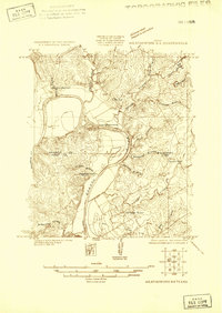
1924 Weatherford 3-d
Parker County, TX
1955 Springtown SE
Parker County, TX
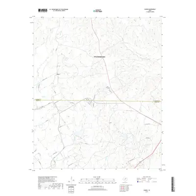
1958 Chapin
Parker County, TX
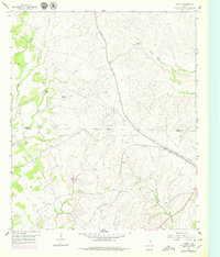
1959 Adell
Parker County, TX
1959 Anneta
Parker County, TX
1959 Brock
Parker County, TX
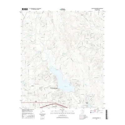
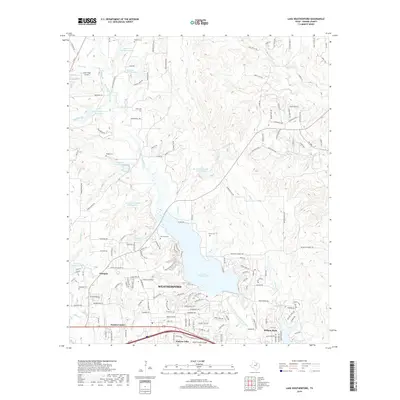
1959 Lake Weatherford
Parker County, TX
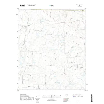
1959 Poolville
Parker County, TX
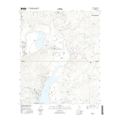
1959 Tin Top
Parker County, TX
1959 Weatherford North
Parker County, TX
1959 Weatherford South
Parker County, TX
1984 Brazos East
Parker County, TX
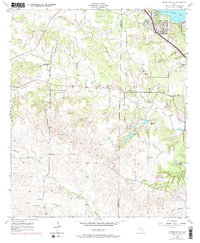
2010 Adell
Parker County, TX
2010 Brazos East
Parker County, TX
2010 Brock
Parker County, TX
2010 Chapin
Parker County, TX
2010 Lake Weatherford
Parker County, TX
2010 Poolville
Parker County, TX
2010 Springtown SE
Parker County, TX
2010 Tin Top
Parker County, TX
2010 Weatherford North
Parker County, TX
2010 Weatherford South
Parker County, TX
2012 Adell
Parker County, TX
2012 Brazos East
Parker County, TX
2012 Brock
Parker County, TX
2012 Lake Weatherford
Parker County, TX
2012 Poolville
Parker County, TX
2012 Tin Top
Parker County, TX
2012 Weatherford North
Parker County, TX
2012 Weatherford South
Parker County, TX
2013 Chapin
Parker County, TX
2013 Springtown SE
Parker County, TX

2016 Adell
Parker County, TX
2016 Brazos East
Parker County, TX
2016 Brock
Parker County, TX
2016 Chapin
Parker County, TX
2016 Lake Weatherford
Parker County, TX
2016 Poolville
Parker County, TX
2016 Springtown SE
Parker County, TX
2016 Tin Top
Parker County, TX
2016 Weatherford North
Parker County, TX
2016 Weatherford South
Parker County, TX
2019 Adell
Parker County, TX
2019 Brazos East
Parker County, TX
2019 Brock
Parker County, TX
2019 Chapin
Parker County, TX
2019 Lake Weatherford
Parker County, TX
2019 Poolville
Parker County, TX
2019 Springtown SE
Parker County, TX
2019 Tin Top
Parker County, TX
2019 Weatherford North
Parker County, TX
2019 Weatherford South
Parker County, TX
2022 Adell
Parker County, TX
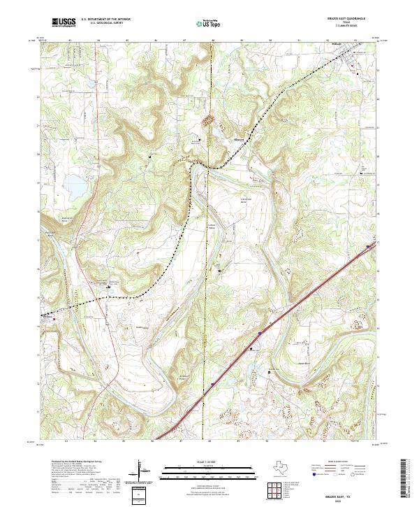
2022 Brazos East
Parker County, TX
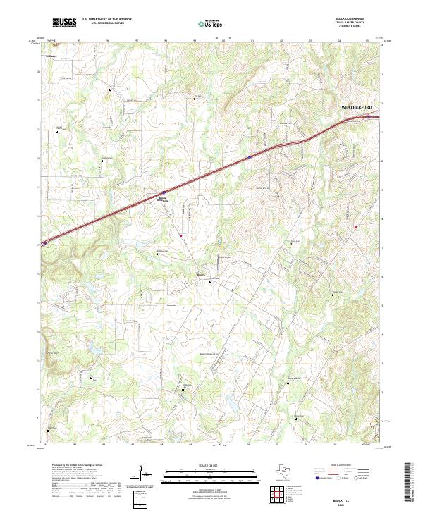
2022 Brock
Parker County, TX
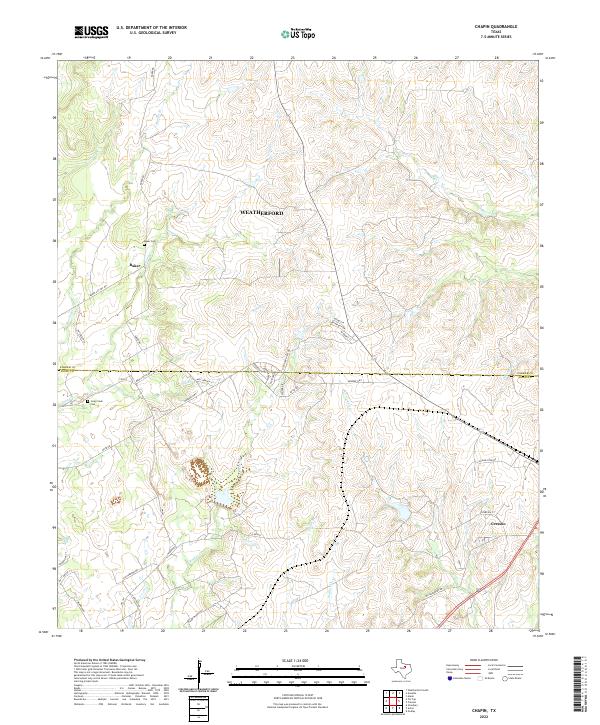
2022 Chapin
Parker County, TX
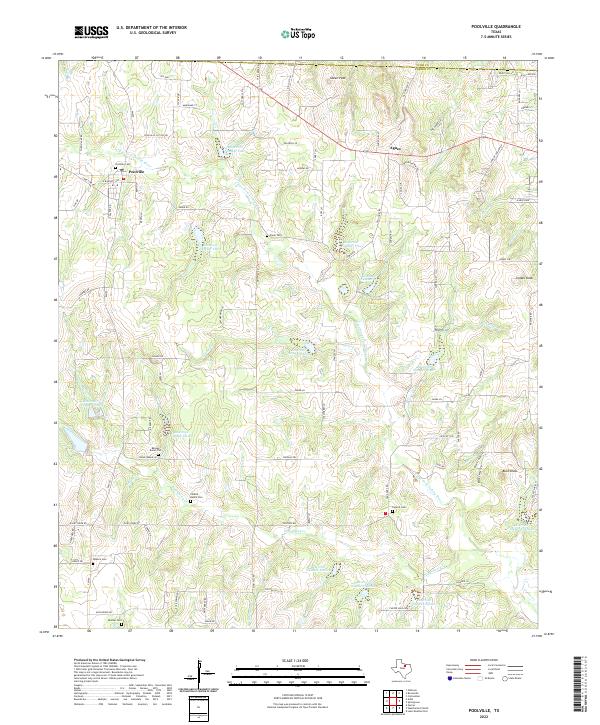
2022 Poolville
Parker County, TX
2022 Springtown SE
Parker County, TX
2022 Tin Top
Parker County, TX
2022 Weatherford North
Parker County, TX
2022 Weatherford South
Parker County, TX
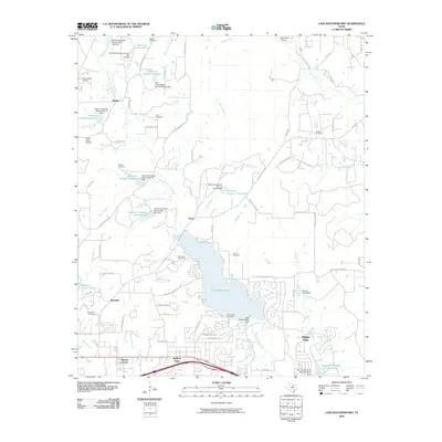
2023 Lake Weatherford
Parker County, TX