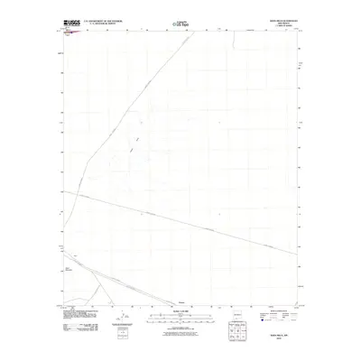
2010 Map of Aden Hills
USGS Topo · Published 2010About this map
Aden Hills and the surrounding high desert of Doña Ana County are captured here in a 2010 survey by the U.S. Geological Survey. The landscape is dominated by volcanic features and arid plains, anchored by the prominence of Aden Mountain in the southwest corner. The settlement of Aden sits at the base of this peak, serving as a focal point for the thin network of desert roads that traverse the basin. To the southeast, the locality of Pronto marks another point of interest in this sparsely populated region.
Find a feature on this map
9 named features on this map. Tap any name to fly to it.
Don’t see what you’re looking for? This feature index may not catch every label — zoom into the map to look around manually.
Map Details
Editions of this 2010 Aden Hills Map
This is the sole edition of this map. No revisions or reprints were ever made.
Other maps of this area

1891 · Las Cruces
USGS Topo · 1:125,000

1893 · Las Cruces
USGS Topo · 1:125,000

1941 · Las Cruces
USGS Topo · 1:62,500

1941 · Aden
USGS Topo · 1:62,500

1943 · Aden
USGS Topo · 1:62,500

1943 · Corralitos Ranch
USGS Topo · 1:62,500

1943 · Afton
USGS Topo · 1:62,500

1943 · Las Cruces
USGS Topo · 1:62,500

1955 · Las Cruces
USGS Topo · 1:250,000

1958 · Las Cruces
USGS Topo · 1:250,000