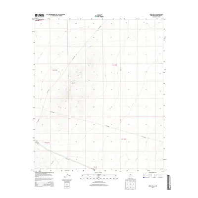
2013 Map of Aden Hills
USGS Topo · Published 2013About this map
Aden Hills dominates the central landscape of this Doña Ana County survey, where the arid terrain is defined by a series of volcanic-related elevations and gradual alluvial slopes. The settlement of Pronto sits in the southern portion of the quadrangle, serving as a focal point in a region primarily crisscrossed by county roads and section lines. The map reveals a highly structured public land system, divided into townships including t24s r3w and t25s r2w. This 2013 data demonstrates how modern transportation routes like CO Road B008 and CO Road B005 navigate the open spaces between the hills. The scarcity of established townsites emphasizes the area's identity as a remote high-desert environment, where land management and geological features are the primary markers of human and natural history.
Find a feature on this map
11 named features on this map. Tap any name to fly to it.
Don’t see what you’re looking for? This feature index may not catch every label — zoom into the map to look around manually.
Map Details
Editions of this 2013 Aden Hills Map
This is the sole edition of this map. No revisions or reprints were ever made.
Other maps of this area

1891 · Las Cruces
USGS Topo · 1:125,000

1893 · Las Cruces
USGS Topo · 1:125,000

1941 · Las Cruces
USGS Topo · 1:62,500

1941 · Aden
USGS Topo · 1:62,500

1943 · Aden
USGS Topo · 1:62,500

1943 · Corralitos Ranch
USGS Topo · 1:62,500

1943 · Afton
USGS Topo · 1:62,500

1943 · Las Cruces
USGS Topo · 1:62,500

1955 · Las Cruces
USGS Topo · 1:250,000

1958 · Las Cruces
USGS Topo · 1:250,000