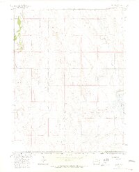
1963 Map of Adena
USGS Topo · Published 1965About this map
Adena stands as the primary community in this rural pocket of Colorado, where the high plains meet the headwaters of the Missouri River Basin. The landscape is defined by the ephemeral flows of Bijou Creek and San Arroyo Creek, which carve winding paths through the terrain. The social and spiritual heart of the area is centered at the Adena Union Ch, while the agricultural importance of water management is evidenced by the prominent Rosener Reservoir to the east. A network of unimproved roads and light-duty paths connects various resource extraction points, including a Borrow Pit and Gravel Pit, alongside vital infrastructure like a Pipeline and a localized Radio Tower. This 1963 survey illustrates a quiet, ranching-oriented environment on the border of Morgan and Adams counties before more modern intensive developments.
Find a feature on this map
12 named features on this map. Tap any name to fly to it.
Don’t see what you’re looking for? This feature index may not catch every label — zoom into the map to look around manually.
Map Details
Editions of this 1963 Adena Map
4 editions found

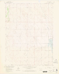
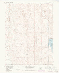
Other maps of this area

1950 · Wiggins
USGS Topo · 1:24,000

1950 · Hoyt
USGS Topo · 1:24,000

1951 · Hoyt
USGS Topo · 1:24,000

1951 · Leader
USGS Topo · 1:24,000

1953 · Denver
USGS Topo · 1:250,000

1954 · Limon
USGS Topo · 1:250,000

1954 · Sterling
USGS Topo · 1:250,000

1954 · Greeley
USGS Topo · 1:250,000

1957 · Denver
USGS Topo · 1:250,000

1957 · Limon
USGS Topo · 1:250,000