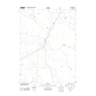
2012 Map of Adin
USGS Topo · Published 2012About this map
Adin serves as the central hub of this Northern California landscape, situated at the junction of several regional routes and the Po for the surrounding valley. The settlement pattern follows the drainages of Butte Cr and Dutch Flat Cr, with smaller outposts like Harper and Round Valley to the north and the secluded Dibble Place to the east. The terrain is marked by significant vertical features such as Brisco Butte and Harper Hill, which overlook the expansive Chace Valley.
Find a feature on this map
32 named features on this map. Tap any name to fly to it.
Don’t see what you’re looking for? This feature index may not catch every label — zoom into the map to look around manually.
Map Details
Editions of this 2012 Adin Map
This is the sole edition of this map. No revisions or reprints were ever made.
Other maps of this area

1886 · Alturas
USGS Topo · 1:250,000

1886 · Modoc Lava Bed
USGS Topo · 1:250,000

1892 · Modoc Lava-Bed
USGS Topo · 1:250,000

1892 · Alturas
USGS Topo · 1:250,000

1954 · Alturas
USGS Topo · 1:250,000

1958 · Alturas
USGS Topo · 1:250,000

1961 · Canby
USGS Topo · 1:62,500

1961 · Bieber
USGS Topo · 1:62,500

1962 · Alturas
USGS Topo · 1:250,000

1962 · Crank Mountain
USGS Topo · 1:62,500