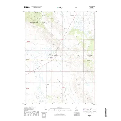
2018 Map of Adin
USGS Topo · Published 2018About this map
Adin sits at the intersection of rural ranch roads and state highways, serving as a historic hub where the high desert meets the southern edge of the Modoc National Forest. This 2018 survey documents the enduring settlement patterns of the Big Valley area, showing the community centered around Main ST and supported by the Adin Airport. To the north, the terrain rises sharply toward Fox Mountain and the Ryan Ridge complex, while the valley floor is defined by the winding paths of Butte Cr and Willow Cr. Genealogy researchers will find significant value in the documentation of both the Adin Cem and the Adin Pioneer Cem, reflecting generations of residence in this corner of the state. The landscape is a transition of productive valleys like Ash Valley and Round Valley set against the timbered ridges of the Barber Ridge.
Find a feature on this map
39 named features on this map. Tap any name to fly to it.
Don’t see what you’re looking for? This feature index may not catch every label — zoom into the map to look around manually.
Map Details
Editions of this 2018 Adin Map
This is the sole edition of this map. No revisions or reprints were ever made.
Other maps of this area

1886 · Alturas
USGS Topo · 1:250,000

1886 · Modoc Lava Bed
USGS Topo · 1:250,000

1892 · Modoc Lava-Bed
USGS Topo · 1:250,000

1892 · Alturas
USGS Topo · 1:250,000

1954 · Alturas
USGS Topo · 1:250,000

1958 · Alturas
USGS Topo · 1:250,000

1961 · Canby
USGS Topo · 1:62,500

1961 · Bieber
USGS Topo · 1:62,500

1962 · Alturas
USGS Topo · 1:250,000

1962 · Crank Mountain
USGS Topo · 1:62,500