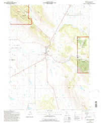
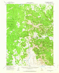
1993 Map of Adin
USGS Topo · Published 1996About this map
Adin serves as the central hub of this northern California landscape, positioned at the edge of the expansive Big Valley. The settlement pattern reflects the area's agricultural and ranching foundations, with a local Cem, Airport, and Sub Station supporting the community. The town is situated where several waterways converge, including Ash Creek and Butte Creek, which transition from the steep upland terrain of the Modoc National Forest into the valley floor.
Find a feature on this map
34 named features on this map. Tap any name to fly to it.
Don’t see what you’re looking for? This feature index may not catch every label — zoom into the map to look around manually.
Map Details
Editions of this 1993 Adin Map
This is the sole edition of this map. No revisions or reprints were ever made.
Other maps of this area

1886 · Alturas
USGS Topo · 1:250,000

1886 · Modoc Lava Bed
USGS Topo · 1:250,000

1892 · Modoc Lava-Bed
USGS Topo · 1:250,000

1892 · Alturas
USGS Topo · 1:250,000

1954 · Alturas
USGS Topo · 1:250,000

1958 · Alturas
USGS Topo · 1:250,000
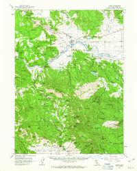
1961 · Canby
USGS Topo · 1:62,500
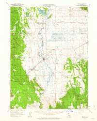
1961 · Bieber
USGS Topo · 1:62,500
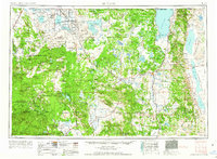
1962 · Alturas
USGS Topo · 1:250,000
1962 · Crank Mountain
USGS Topo · 1:62,500