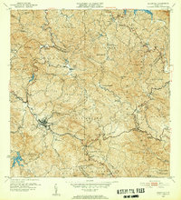
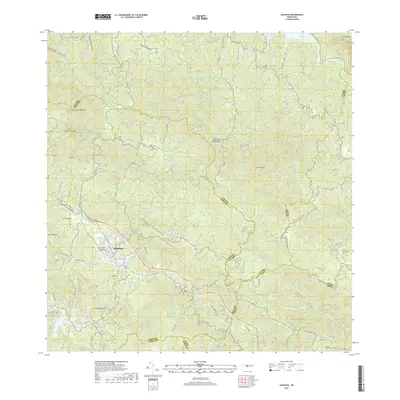
1952 Map of Adjuntas
USGS Topo · Published 1953About this map
The town of Adjuntas sits at the heart of the Cordillera Central in the early 1950s, serving as a hub for the surrounding mountainous coffee and agricultural region. This survey, revised by the Department of Public Works under Roberto Sanchez Vilella, reveals a landscape densely populated with named haciendas that defined the local economy, such as Hacienda Santa Elena, Hacienda La Esperanza, and Hacienda El Progreso. The intricate water system is well-documented, featuring reservoirs like Lago Garzas and Lago Pellejas, alongside the municipal Planta de Filtracion. Spiritual and social centers are marked by rural churches, including the Iglesia de San Patricio and Iglesia de la Concepcion Inmaculada, which anchored barrios like Vivi Arriba and Anon. The terrain is characterized by high peaks such as Cerro El Gigante and Cerro Prieto, while the Tunel near Pellejas indicates the engineering required to navigate this interior topography.
Find a feature on this map
83 named features on this map. Tap any name to fly to it.
Don’t see what you’re looking for? This feature index may not catch every label — zoom into the map to look around manually.
Map Details
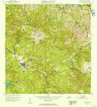
Editions of this 1952 Adjuntas Map
2 editions found
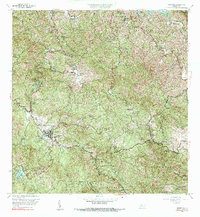
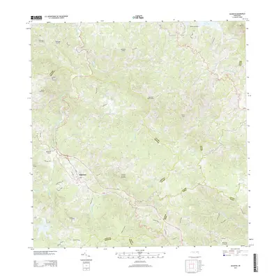
Historical Maps of Adjuntas Through Time
6 maps found

Featured Locations
- Altos de Arena, Utuado
- Sector Vickey Oquendo, Adjuntas
- Adjuntas, Adjuntas
- Barriada La Olimpia, Adjuntas
- Sector Los Verdes, Adjuntas