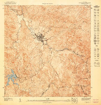
1947 Map of Adjuntas SO
USGS Topo · Published 1947About this map
Adjuntas sits at the heart of this mid-century topographic study, positioned where the Río Cidra meets the headwaters of the Río Grande de Arecibo. The landscape is dominated by the steep ridges of the Cordillera Central, including prominent peaks such as Cerro El Gigante and Cerro Cerrate. This 1940s survey illustrates a rural interior defined by its complex drainage network, with the Río Saltillo and Río Garzas carving deep valleys through the limestone and volcanic terrain. To the southwest, the Lago Garzas reservoir serves as a major landmark within the Bosque Insular de Guilarte. Local industrial history is noted by the Adjuntas Chimney, while the broader topography is shaped by the formidable Cuchilla Juan Gonzales ridgeline, marking the divide between the northern and southern watersheds of the island.
Find a feature on this map
20 named features on this map. Tap any name to fly to it.
Don’t see what you’re looking for? This feature index may not catch every label — zoom into the map to look around manually.
Map Details
Editions of this 1947 Adjuntas SO Map
This is the sole edition of this map. No revisions or reprints were ever made.
Other maps of this area

1946 · Yauco
USGS Topo · 1:30,000

1946 · Monte Guilarte
USGS Topo · 1:30,000

1946 · Penuelas
USGS Topo · 1:30,000

1946 · Adjuntas
USGS Topo · 1:30,000
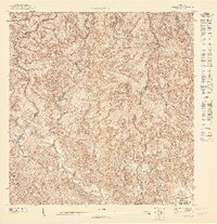
1947 · Yauco NE
USGS Topo · 1:10,000
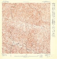
1947 · Monte Guilarte NE
USGS Topo · 1:10,000
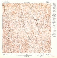
1947 · Penuelas NE
USGS Topo · 1:10,000
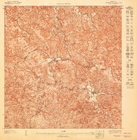
1947 · Adjuntas NO
USGS Topo · 1:10,000
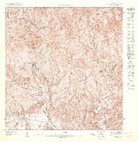
1947 · Penuelas NO
USGS Topo · 1:10,000
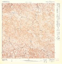
1947 · Monte Guilarte SE
USGS Topo · 1:10,000