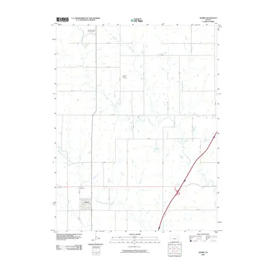
2009 Map of Admire
USGS Topo · Published 2009About this map
Admire sits at the southern edge of this Lyon County landscape, where the local street grid centers on Hall St. The surrounding terrain is defined by a dense network of meandering waterways, most notably the uniquely named One Hundred and Fortytwo Mile Creek and Elm Creek. These streams dictate the placement of rural infrastructure, from the Converse Farm Landing Strip in the north to the scattered burial grounds that serve the farming community. Genealogists will find the locations of Pleasant Ridge Cemetery and Admire Cemetery clearly marked among the section lines. The map captures a quintessential Kansas prairie drainage system, where smaller tributaries like Onion Creek and Log Chain Creek feed into larger basins amidst a disciplined grid of county roads.
Find a feature on this map
19 named features on this map. Tap any name to fly to it.
Don’t see what you’re looking for? This feature index may not catch every label — zoom into the map to look around manually.
Map Details
Editions of this 2009 Admire Map
This is the sole edition of this map. No revisions or reprints were ever made.
Other maps of this area

1885 · Eskridge
USGS Topo · 1:125,000

1889 · Burlingame
USGS Topo · 1:125,000

1889 · Eskridge
USGS Topo · 1:125,000

1894 · Eskridge
USGS Topo · 1:125,000

1894 · Burlingame
USGS Topo · 1:125,000

1947 · Lawrence
USGS Topo · 1:250,000

1950 · Lawrence
USGS Topo · 1:250,000

1952 · Harveyville
USGS Topo · 1:24,000

1955 · Hutchinson
USGS Topo · 1:250,000

1956 · Lawrence
USGS Topo · 1:250,000